File list
This special page shows all uploaded files. When filtered by user, only files where that user uploaded the most recent version of the file are shown.
| Date | Thumbnail | Size | User | Description | Versions | |
|---|---|---|---|---|---|---|
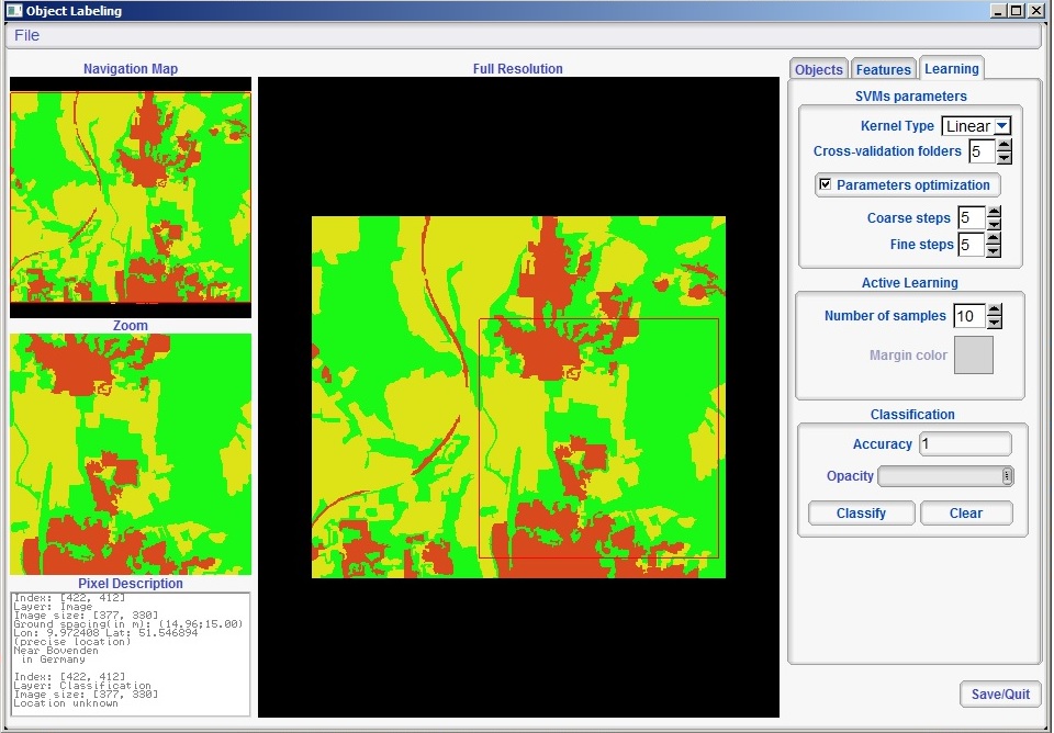
| 18:04, 19 February 2014 | Monteverdi Object Labeling.jpg (file) |  | 180 KB | Lburgr | (Screenshot of the ''Object labeling'' menu in Monteverdi. ) | 1 |
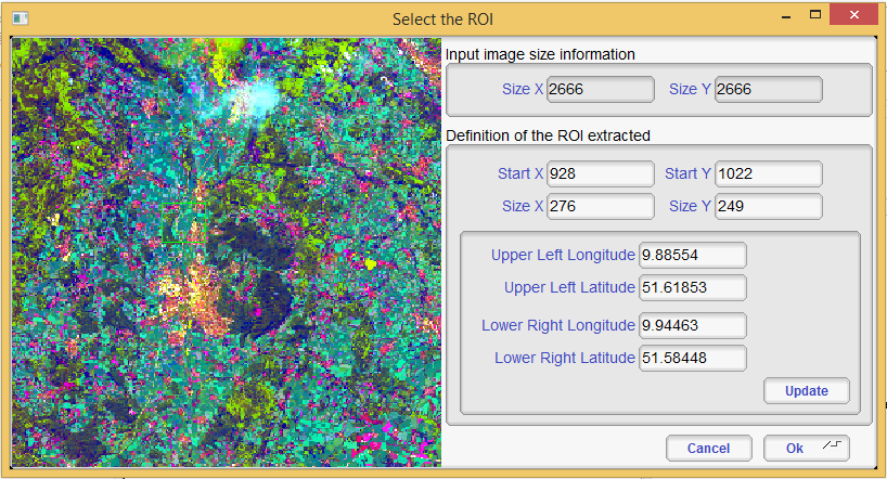
| 17:05, 18 February 2014 | Monteverdi Select ROI.png (file) |  | 1.04 MB | Lburgr | (Screenshot of the ''Select ROI'' menu in Monteverdi. ) | 1 |
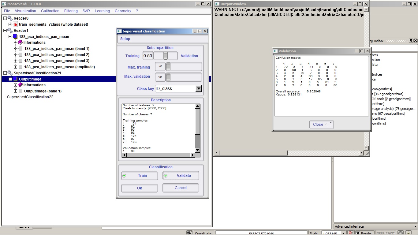
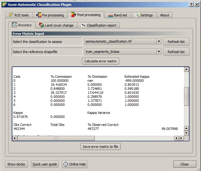
| 18:18, 19 February 2014 | Monteverdi Supervised Error Matrix.jpg (file) |  | 210 KB | Lburgr | (Screenshot of the ''Supervised Classification'' menu with ''Validation'' window displaying error matrix.) | 1 |
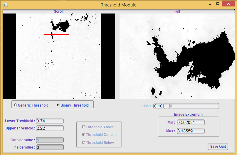
| 17:15, 18 February 2014 | Monteverdi Threshold.png (file) |  | 1.22 MB | Lburgr | (Screenshot of the ''Threshold Module'' in Monteverdi.) | 1 |
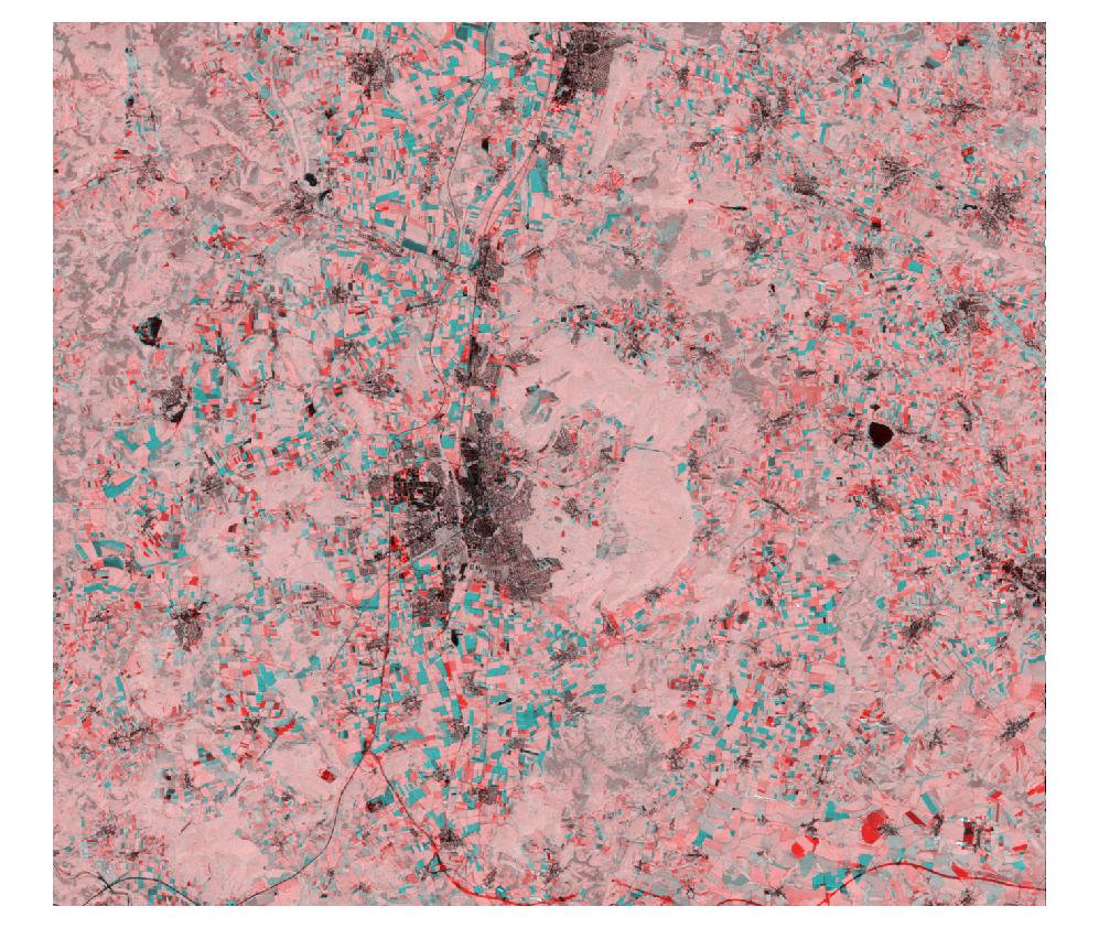
| 16:18, 13 February 2011 | Ndvi 92 to 05.jpg (file) |  | 196 KB | Lburgr | (A multitemporal color composite created in GRASS with r.composite.) | 1 |
| 17:31, 1 November 2010 | Newboundary.png (file) |  | 1 KB | Lburgr | (Screenshot of the GRASS “Digitize vector boundary” tool in QGIS.) | 1 |
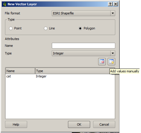
| 16:20, 1 November 2010 | Newvectorlayerad.png (file) |  | 16 KB | Lburgr | (Screenshot of QGIS “Add ne vector layer” dialog.) | 1 |
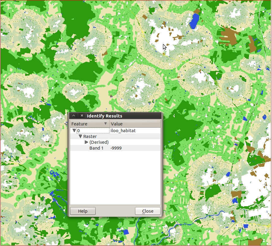
| 19:50, 18 February 2011 | Nodata example.jpg (file) |  | 658 KB | Lburgr | (A rastermap in QGIS with an open identify-feature window displaying a nodata pixel) | 1 |
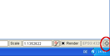
| 12:03, 21 October 2010 | Osm-toolbar.png (file) | 4 KB | Lburgr | (Screenshot of QGIS OpenStreet Map toolbar) | 1 | |
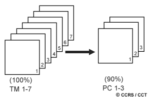
| 17:53, 27 October 2010 | Pca.gif (file) |  | 4 KB | Lburgr | (Graphic explaining the principal component (PCA) analysis image transformation technique) | 1 |
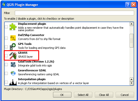
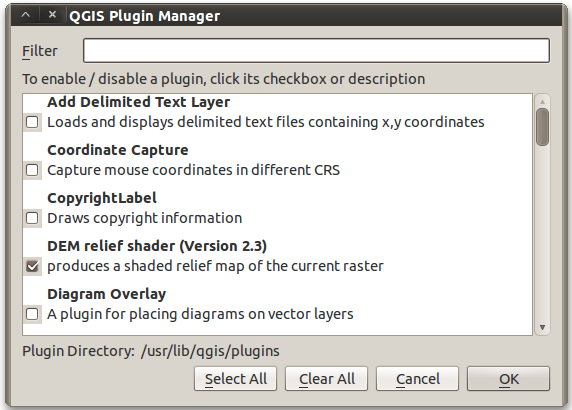
| 09:55, 18 October 2011 | Plugin Manager GRASS.png (file) |  | 25 KB | Lburgr | (Screenshot of QGIS plugin manager with highlighted GRASS plugin checkbox) | 1 |
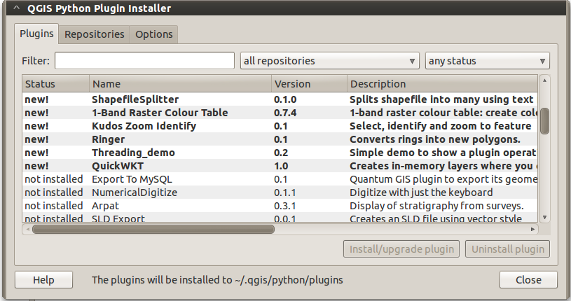
| 16:58, 7 April 2011 | Plugin installer plugins.png (file) |  | 85 KB | Lburgr | (A closer view of the plugin installer, more suitable for use in articles.) | 2 |
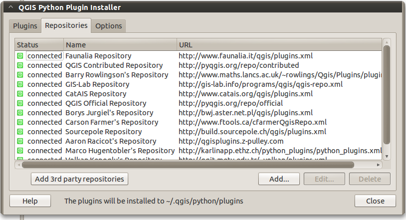
| 17:00, 7 April 2011 | Plugin installer repos.png (file) |  | 102 KB | Lburgr | (Plugin installer in QGIS with open “repositories” tab under Linux.) | 1 |
| 17:06, 7 April 2011 | Plugin manager.png (file) |  | 53 KB | Lburgr | (A closeup view of the plugin manager, more suitable for use in articles.) | 2 |
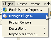
| 09:48, 18 October 2011 | Plugins Menu.png (file) |  | 5 KB | Lburgr | (Screenshot of QGIS “Plugins” menu on Windows XP) | 1 |
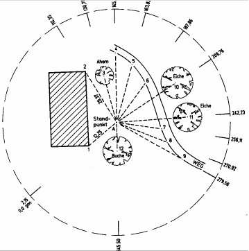
| 16:12, 15 May 2011 | Polarverfahren.jpg (file) |  | 46 KB | Lburgr | (A sketch showing the principle of the polar coordinate method. Taken from: Kleinn, Dr. C. Skriptum zur Vorlesung „Einführung in die Vermessungslehre“ für Studierende der Forstwissenschaften. Georg August Universität Göttingen, 2009. ) | 1 |
| 14:57, 11 September 2011 | Projectproperties button QGIS 1.7 winxp.png (file) |  | 7 KB | Lburgr | (A screenshot of the project properties button in QGIS 1.7 under Windows XP.) | 1 |
| 18:03, 24 January 2014 | QGIS 2.0 Addpolygon.png (file) |  | 1 KB | Lburgr | (Screenshot of QGIS 2.0 ''Add polygon'' icon in edit mode.) | 1 |
| 16:29, 16 November 2013 | QGIS 2.0 Edit.png (file) |  | 840 B | Lburgr | (Screenshot of QGIS 2.0 ''Toggle edit'' icon.) | 1 |
| 15:53, 16 November 2013 | QGIS 2.0 GPSTools.png (file) |  | 565 B | Lburgr | (Screenshot of the QGIS GPSTools plugin icon.) | 1 |
| 16:39, 16 November 2013 | QGIS 2.0 SaveEdit.png (file) |  | 755 B | Lburgr | (Screenshot of the ''save'' icon in QGIS 2.0 editing mode.) | 1 |
| 20:12, 9 November 2013 | QGIS 2.0 addrast.png (file) |  | 509 B | Lburgr | (Screenshot of QGIS 2.0 add raster layer icon.) | 1 |
| 14:59, 11 November 2013 | QGIS 2.0 addvect.png (file) |  | 1 KB | Lburgr | (Screenshot of "Add vector layer" icon in QGIS 2.0) | 1 |
| 18:18, 9 December 2013 | QGIS 2.0 georef addpoint.png (file) |  | 863 B | Lburgr | (Screenshot of the ''Add point'' icon in the QGIS 2.0 georeferencing dialogue.) | 1 |
| 18:04, 9 December 2013 | QGIS 2.0 georef addrast.png (file) |  | 479 B | Lburgr | (Screenshot of the ''Add raster'' icon from the QGIS 2.0 georeferencing dialogue. ) | 1 |
| 18:30, 9 December 2013 | QGIS 2.0 georef run.png (file) |  | 530 B | Lburgr | (Screenshot of the ''Start georeferencing'' button in the QGIS 2.0 georeferencing dialogue.) | 1 |
| 18:14, 9 December 2013 | QGIS 2.0 georef zoom.png (file) |  | 908 B | Lburgr | (Screenshot of the ''zoom in'' tool icon in QGIS 2.0.) | 1 |
| 20:16, 9 November 2013 | QGIS 2.0 zoominout.png (file) |  | 1 KB | Lburgr | (Icons for zooming in and out in QGIS 2.0.) | 1 |
| 20:17, 9 November 2013 | QGIS 2.0 zoomtolayer.png (file) |  | 993 B | Lburgr | (Icon for zoom to layer function in QGIS 2.0.) | 1 |
| 20:42, 16 November 2013 | QGIS AbsPath.png (file) | 19 KB | Lburgr | (Screenshot of an absolute path to a layer stored in a QGIS 2.0 project file.) | 1 | |
| 11:56, 11 September 2011 | QGIS Icons winxp.png (file) | 87 KB | Lburgr | (Screenshot of QGis Desktop Icons after installing with OSGeo4W under Windows XP) | 1 | |
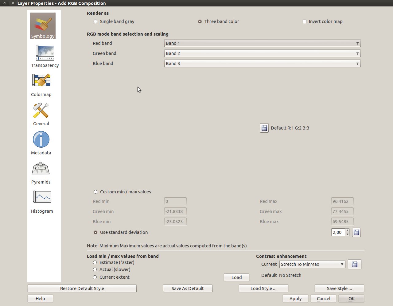
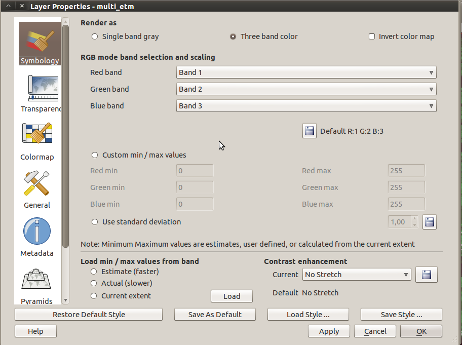
| 17:40, 17 February 2011 | QGIS RGB dialog.jpg (file) |  | 93 KB | Lburgr | (Screenshot of the QGIS raster layer properties RGB option (in Ubuntu). ) | 1 |
| 20:47, 16 November 2013 | QGIS RelPath.png (file) | 14 KB | Lburgr | (Screenshot of a section of a QGIS project file opened in gVim, with stored relative path to a shapefile.) | 1 | |
| 18:17, 19 February 2014 | QGIS Semi Automatic Classification.jpg (file) |  | 107 KB | Lburgr | (Screenshot of the ''Semi-Automatic Classification'' plugin in QGIS 2.0.) | 1 |
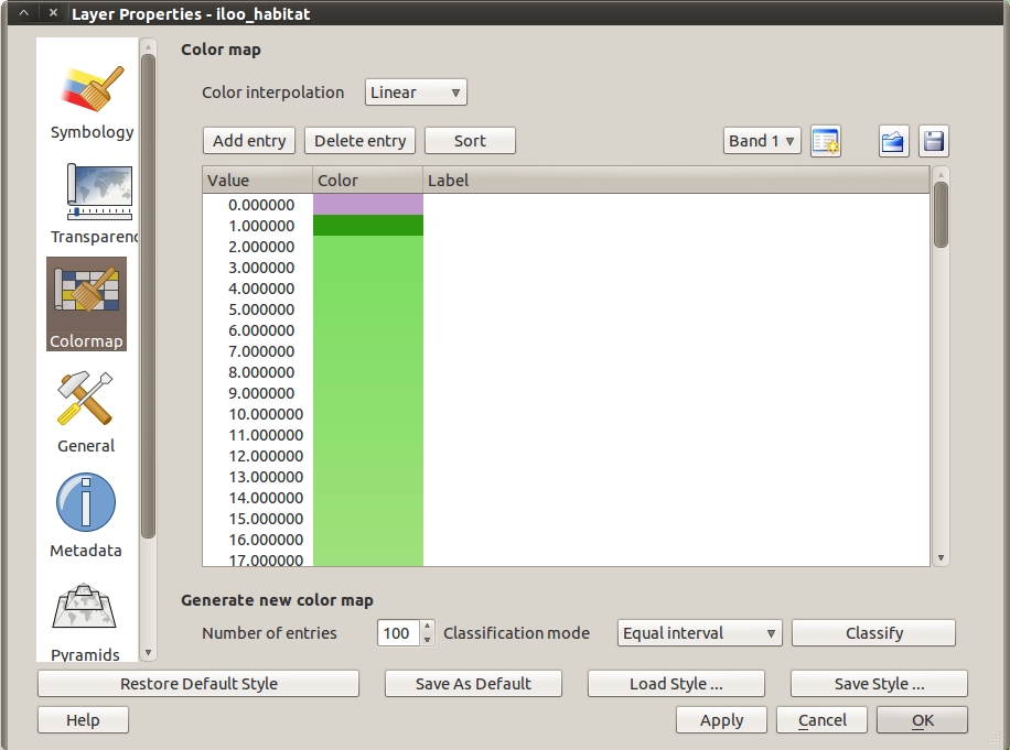
| 18:37, 17 February 2011 | QGIS colormap dialog.jpg (file) |  | 176 KB | Lburgr | (Screenshot of the QGIS raster layer properties colormap dialog (in Ubuntu)) | 1 |
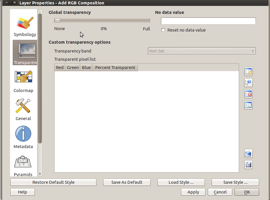
| 10:53, 18 February 2011 | QGIS raster transparency.jpg (file) | 140 KB | Lburgr | (A screenshot of the raster transparency tab in the QGIS raster layer properties under Ubuntu) | 1 | |
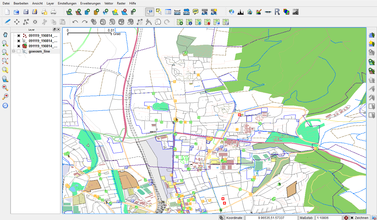
| 12:08, 21 October 2010 | Qgis-osm.png (file) |  | 216 KB | Lburgr | (Screenshot of QGIS with loaded OSM layer) | 1 |
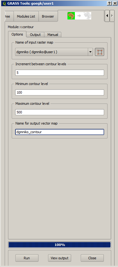
| 18:03, 25 October 2010 | R contour.png (file) |  | 24 KB | Lburgr | (Screenshot of GRASS r.contour window in QGIS) | 1 |
| 18:45, 25 January 2011 | Raster properties.png (file) |  | 109 KB | Lburgr | (A screenshot of the QGIS 1.6 rastermap properties dialog.) | 1 |
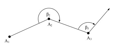
| 17:02, 15 May 2011 | Ref angle.jpg (file) |  | 5 KB | Lburgr | (A sketch displaying the principle of the angle of refraction) | 1 |
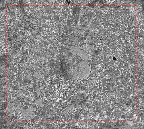
| 09:30, 8 April 2011 | Region display.png (file) |  | 427 KB | Lburgr | (An example of the GRASS region displayed in QGIS) | 1 |
| 09:33, 8 April 2011 | Region display button.png (file) |  | 5 KB | Lburgr | (The “Display current GRASS region” button of the GRASS toolbar in QGIS) | 1 |
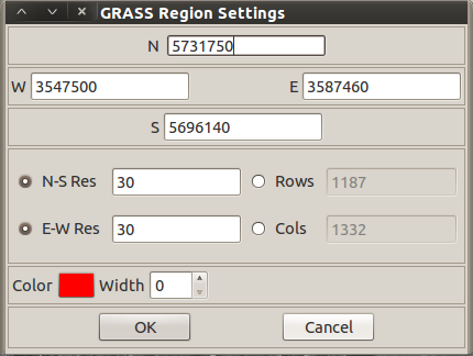
| 15:38, 8 April 2011 | Region settings.png (file) |  | 29 KB | Lburgr | (Screenshot of the “region settings” dialog from the GRASS plugin in QGIS.) | 1 |
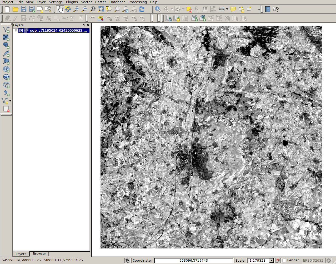
| 12:15, 9 November 2013 | RemSens Exercise01 1.png (file) |  | 951 KB | Lburgr | (Screenshot for Exercise01 of the QGIS Tutorial 2013/14, after loading a ''landsat'' map into QGIS.) | 1 |
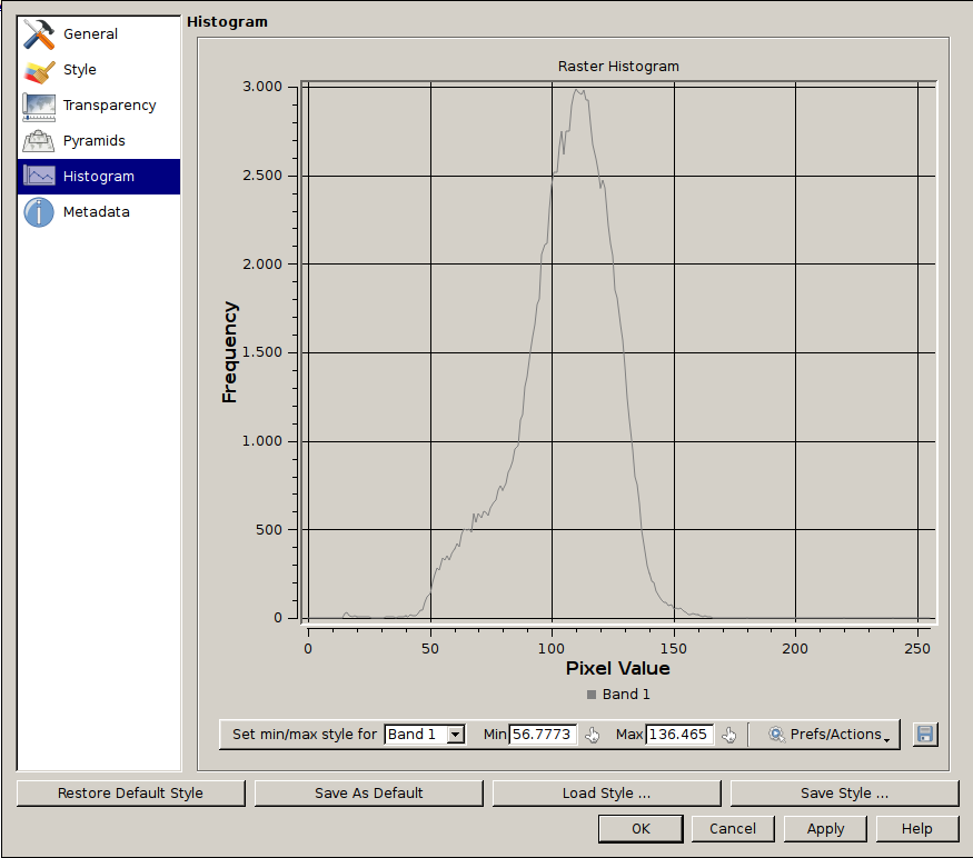
| 19:09, 9 November 2013 | RemSens Exercise01 2.png (file) |  | 56 KB | Lburgr | (Screenshot of a histogram of pixel values of a ''landsat'' map, generated in the course of QGIS Tutorial 2013/14, Exercise 01.) | 1 |
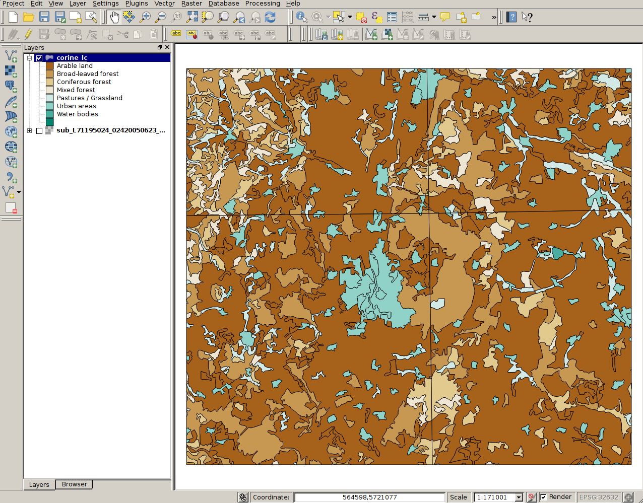
| 20:01, 9 November 2013 | RemSens Exercise01 4.png (file) |  | 630 KB | Lburgr | (CORINE landcover map for Göttingen and vicinity in QGIS. Part of exercise one of the QGIS tutorial 2013/14.) | 1 |
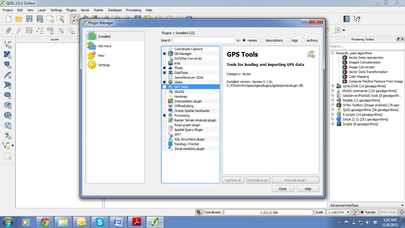
| 15:16, 16 November 2013 | RemSens Exercise02 1.png (file) |  | 181 KB | Lburgr | (QGIS Screenshot with opened plugin manager. Part of QGIS Tutorial 2013/14 exercise 02.) | 1 |
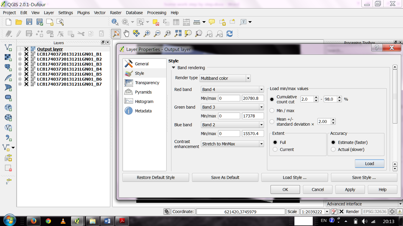
| 17:35, 8 December 2013 | RemSens Exercise03 2.png (file) |  | 313 KB | Lburgr | (QGIS 2.0 with layer properties dialogue opened for a multiband raster image. Part of QGIS tutorial 2013/14 Exercise 03: Georeferencing.) | 1 |
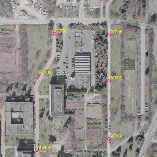
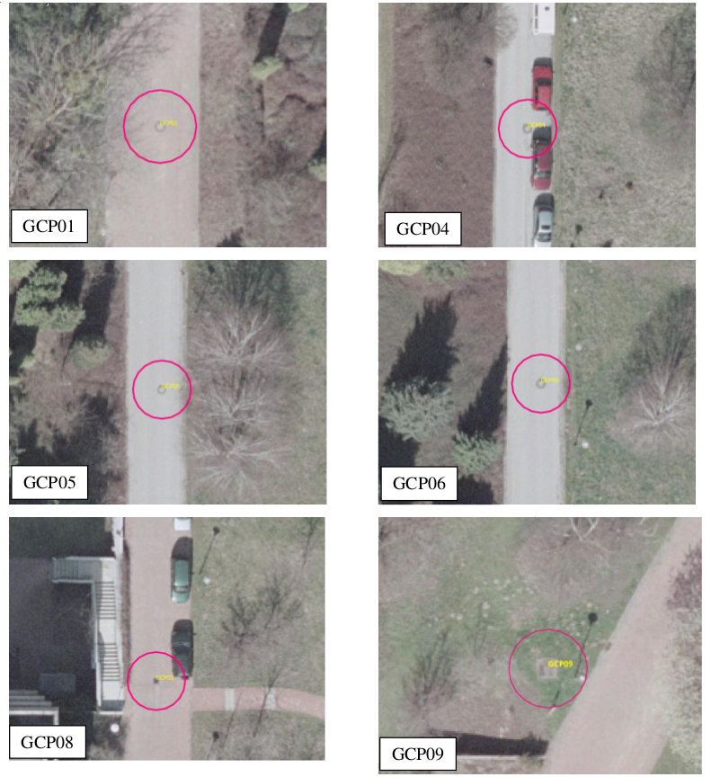
| 19:24, 8 December 2013 | RemSens Exercise03 4.png (file) |  | 545 KB | Lburgr | (Aerial image of the faculty of forestry, Göttingen, with ground control points used for georeferencing in Exercise 03b: Georeferencing of the QGIS tutorial 2013/14.) | 1 |
| 20:03, 8 December 2013 | RemSens Exercise03 5.png (file) |  | 2.65 MB | Lburgr | (Erased less aesthetically pleasing lines...) | 3 |
First page |
 Previous page |
 Next page |
Last page |