File list
This special page shows all uploaded files. When filtered by user, only files where that user uploaded the most recent version of the file are shown.
| Name | Thumbnail | Size | User | Description | Versions | |
|---|---|---|---|---|---|---|
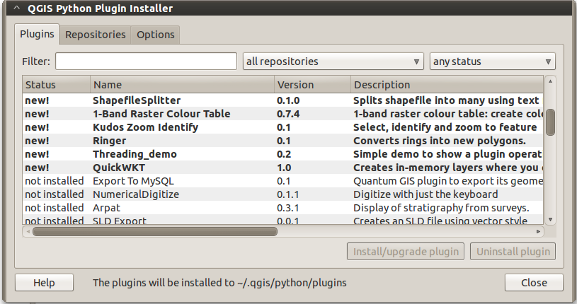
| 16:58, 7 April 2011 | Plugin installer plugins.png (file) |  | 85 KB | Lburgr | (A closer view of the plugin installer, more suitable for use in articles.) | 2 |
| 15:36, 20 February 2011 | Grassdata example.jpg (file) |  | 70 KB | Lburgr | (Screenshot of a file-manager window displaying a GRASS database directory with locations and mapsets) | 1 |
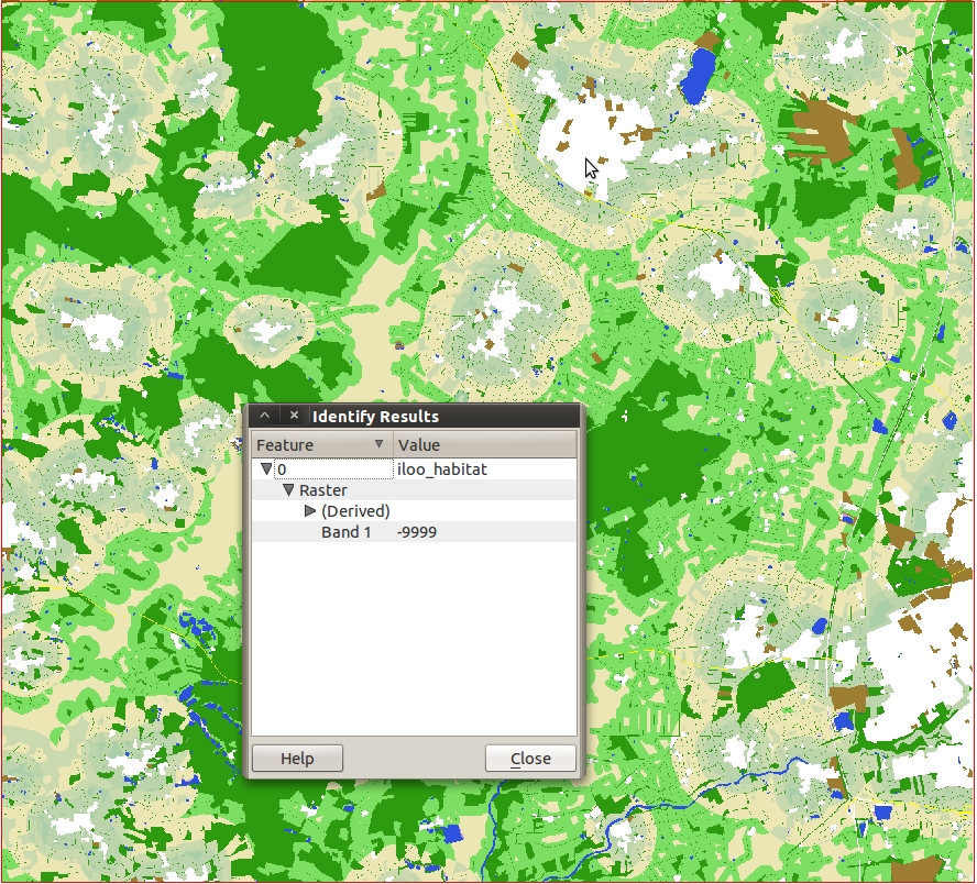
| 19:50, 18 February 2011 | Nodata example.jpg (file) |  | 658 KB | Lburgr | (A rastermap in QGIS with an open identify-feature window displaying a nodata pixel) | 1 |
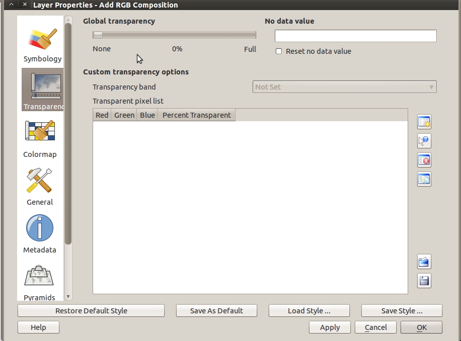
| 10:53, 18 February 2011 | QGIS raster transparency.jpg (file) | 140 KB | Lburgr | (A screenshot of the raster transparency tab in the QGIS raster layer properties under Ubuntu) | 1 | |
| 09:34, 18 February 2011 | Colormap example.jpg (file) |  | 220 KB | Lburgr | (Example of a rastermap displayed with the colormap option in QGIS) | 1 |
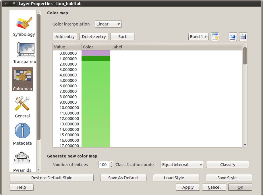
| 18:37, 17 February 2011 | QGIS colormap dialog.jpg (file) |  | 176 KB | Lburgr | (Screenshot of the QGIS raster layer properties colormap dialog (in Ubuntu)) | 1 |
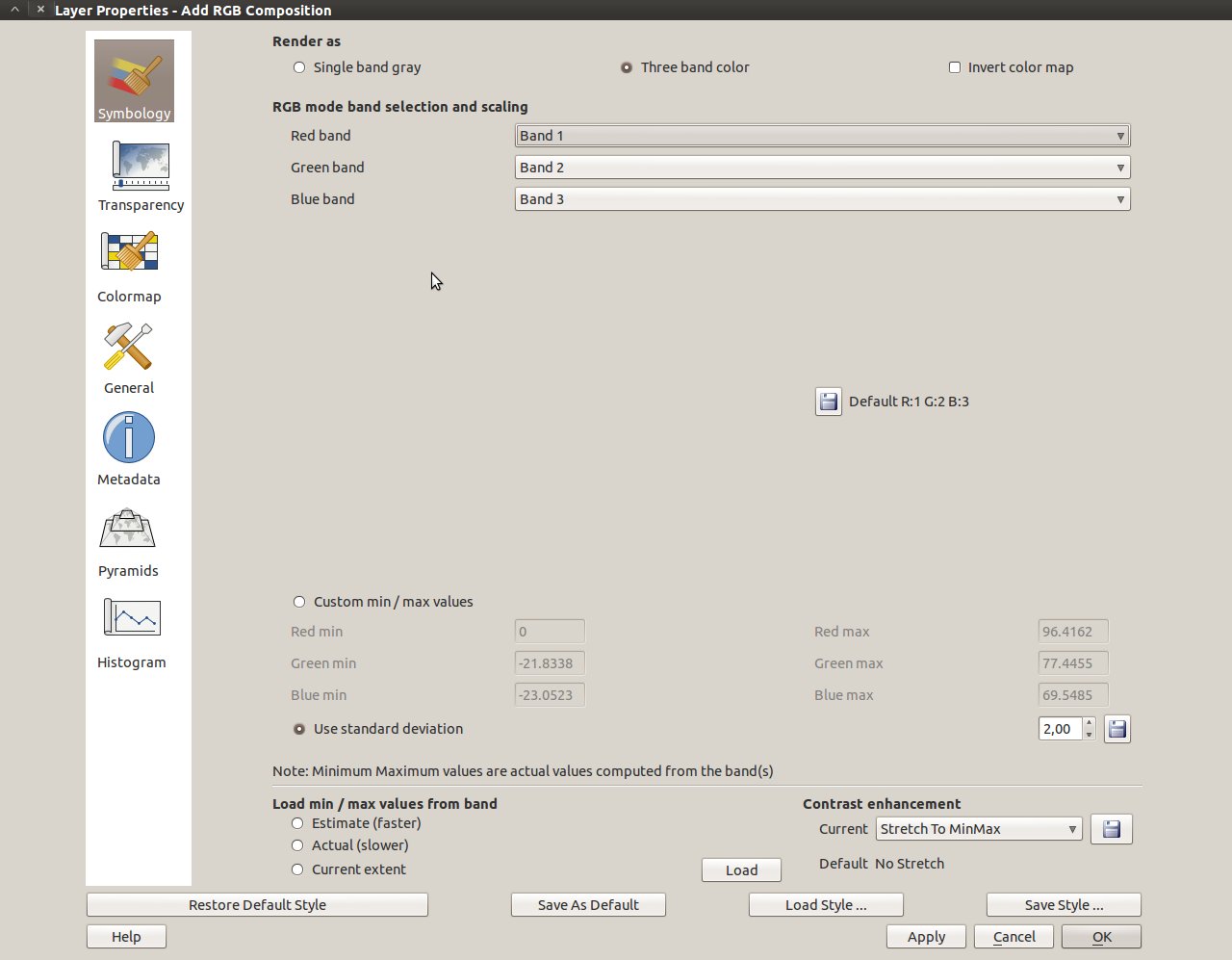
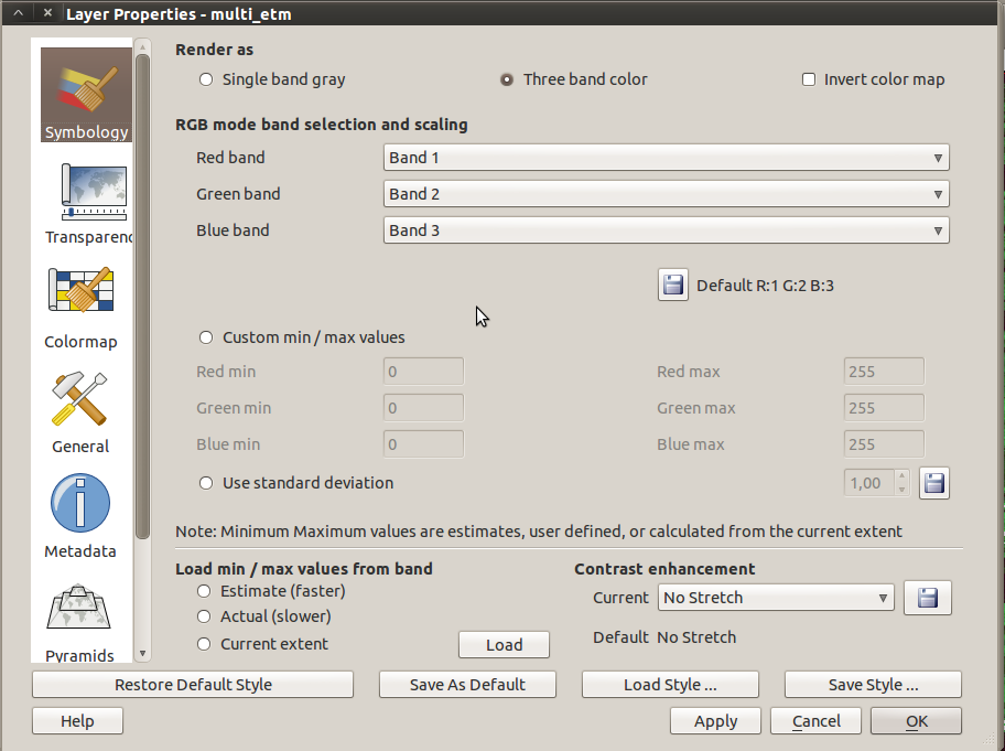
| 17:40, 17 February 2011 | QGIS RGB dialog.jpg (file) |  | 93 KB | Lburgr | (Screenshot of the QGIS raster layer properties RGB option (in Ubuntu). ) | 1 |
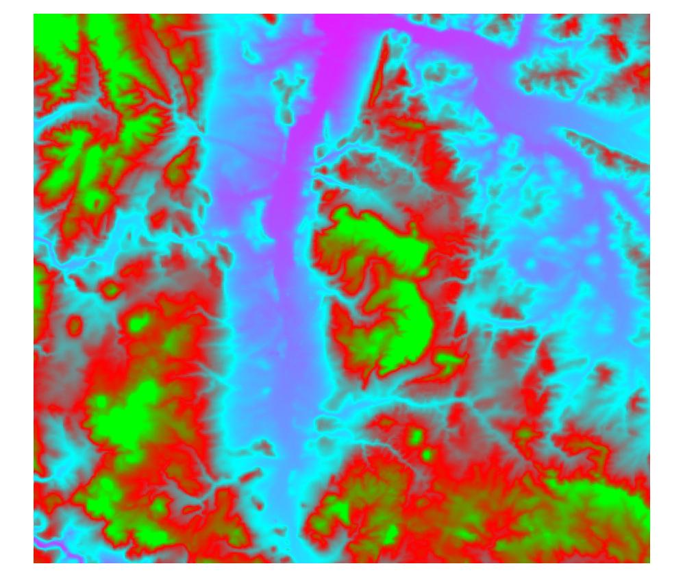
| 14:33, 17 February 2011 | Dem freak.jpg (file) |  | 93 KB | Lburgr | (A digital elevation model displayed with the QGIS “freak out” option.) | 1 |
| 16:18, 13 February 2011 | Ndvi 92 to 05.jpg (file) |  | 196 KB | Lburgr | (A multitemporal color composite created in GRASS with r.composite.) | 1 |
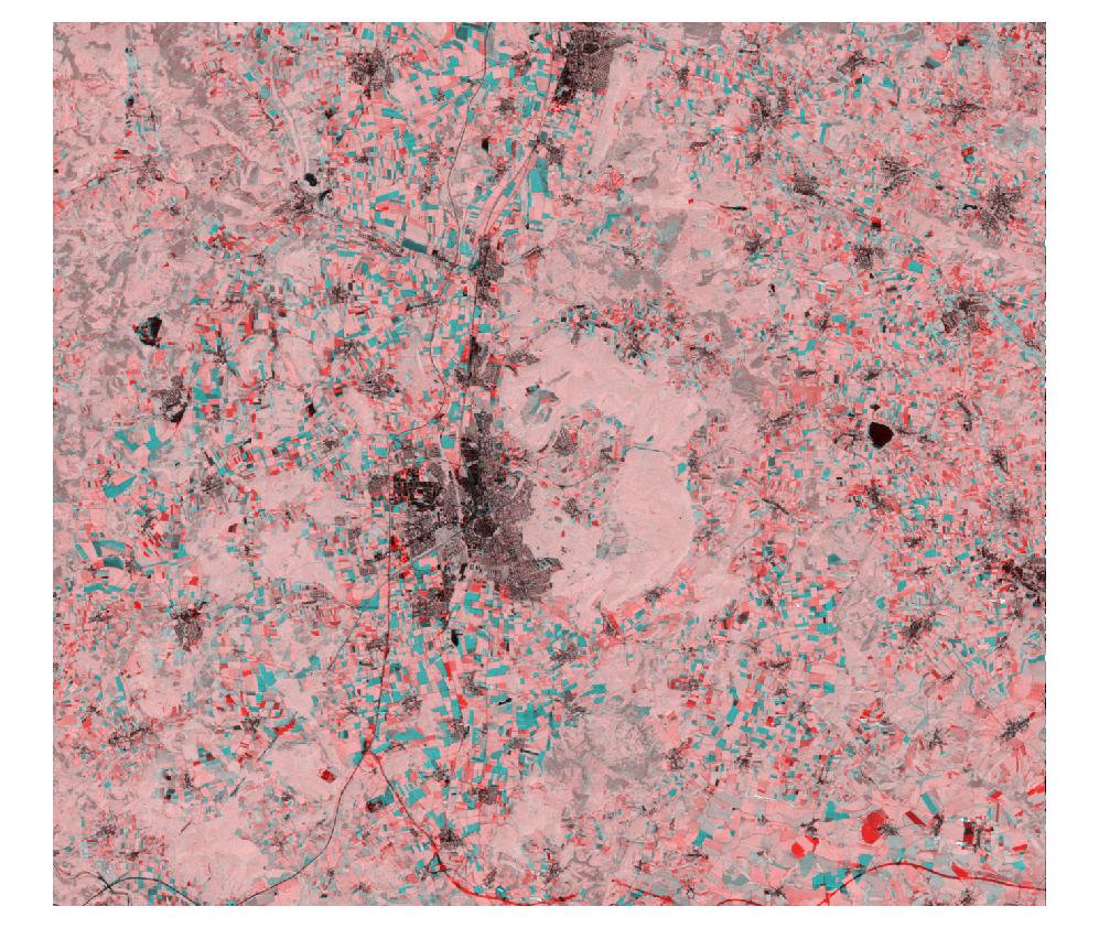
| 16:17, 13 February 2011 | Change NDVI 92 05 comp.jpg (file) |  | 266 KB | Lburgr | (A multitemporal color composite created in GRASS and exported to tif-format. Inadequate symbology.) | 1 |
| 16:21, 26 January 2011 | Dem pseudo.jpg (file) |  | 97 KB | Lburgr | (A digital elevation model displayed in pseudocolor.) | 1 |
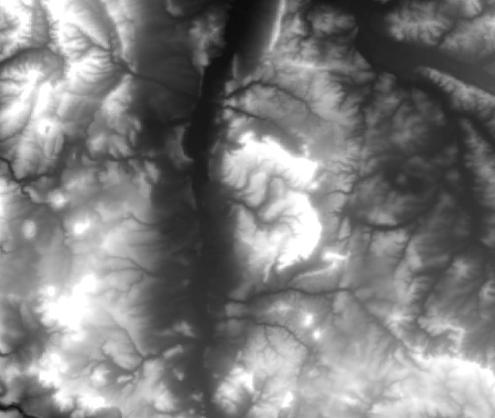
| 16:20, 26 January 2011 | Dem grey.jpg (file) |  | 60 KB | Lburgr | (A digital elevation model displayed in greyscale.) | 1 |
| 13:52, 26 January 2011 | Etm40 grey stdev.jpg (file) |  | 267 KB | Lburgr | (Fourth band of a LANDSAT image symbolized in greyscale; based on a standard deviaton of 2.5 with stretch to MinMax in QGIS.) | 1 |
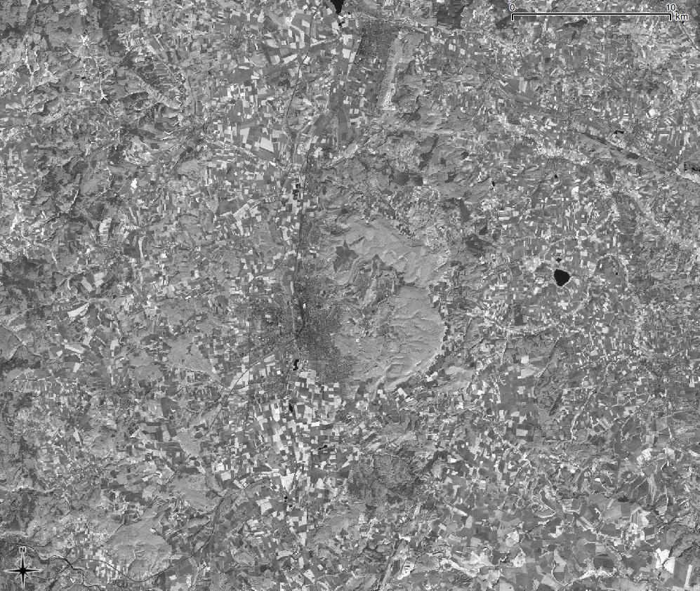
| 13:51, 26 January 2011 | Etm40 grey.jpg (file) |  | 214 KB | Lburgr | (Fourth band of a LANDSAT image symbolized in grey scale.) | 1 |
| 18:45, 25 January 2011 | Raster properties.png (file) |  | 109 KB | Lburgr | (A screenshot of the QGIS 1.6 rastermap properties dialog.) | 1 |
| 16:55, 11 November 2010 | Tux.png (file) |  | 12 KB | Lburgr | (Tux, as originally drawn by Larry Ewing.) | 1 |
| 17:51, 1 November 2010 | Select.png (file) |  | 1 KB | Lburgr | (Screenshot of QGIS selecting tool.) | 1 |
| 17:31, 1 November 2010 | Newboundary.png (file) |  | 1 KB | Lburgr | (Screenshot of the GRASS “Digitize vector boundary” tool in QGIS.) | 1 |
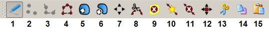
| 17:15, 1 November 2010 | Edit toolbar.png (file) | 14 KB | Lburgr | (Screenshot of QGIS editing toolbar.) | 1 | |
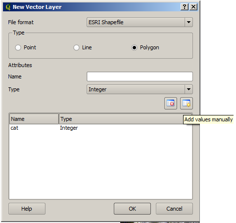
| 16:20, 1 November 2010 | Newvectorlayerad.png (file) |  | 16 KB | Lburgr | (Screenshot of QGIS “Add ne vector layer” dialog.) | 1 |
| 16:14, 1 November 2010 | Addvaluesmanually.png (file) |  | 825 B | Lburgr | (Screenshot of the QGIS “add attributes tool” icon for attribute tables.) | 1 |
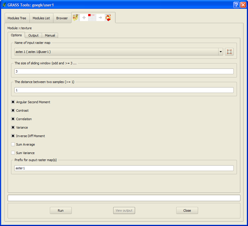
| 11:53, 1 November 2010 | Texture module.png (file) |  | 36 KB | Lburgr | (Screenshot of GRASS texture module GUI in QGIS) | 1 |
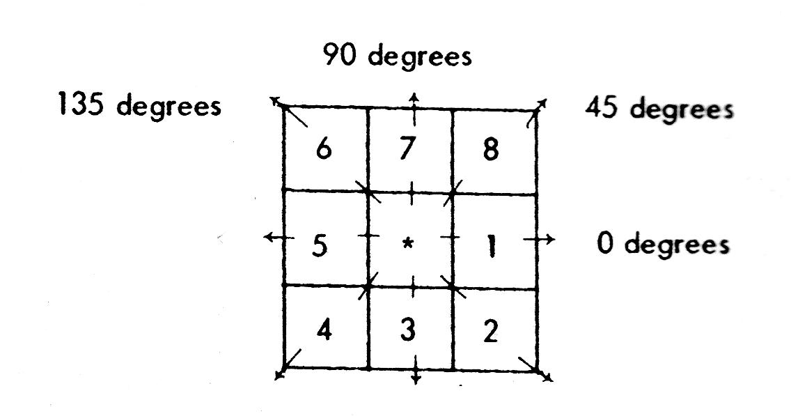
| 11:16, 1 November 2010 | Texture.png (file) |  | 69 KB | Lburgr | (Graphic describing the calculation of Haralick texture measures.) | 1 |
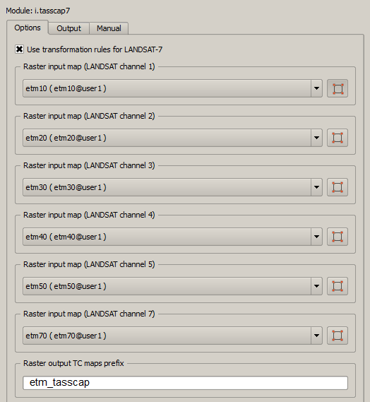
| 19:11, 27 October 2010 | Tasscap7.png (file) |  | 26 KB | Lburgr | (Screenshot of GRASS module “i.tasscap7” window in QGIS.) | 1 |
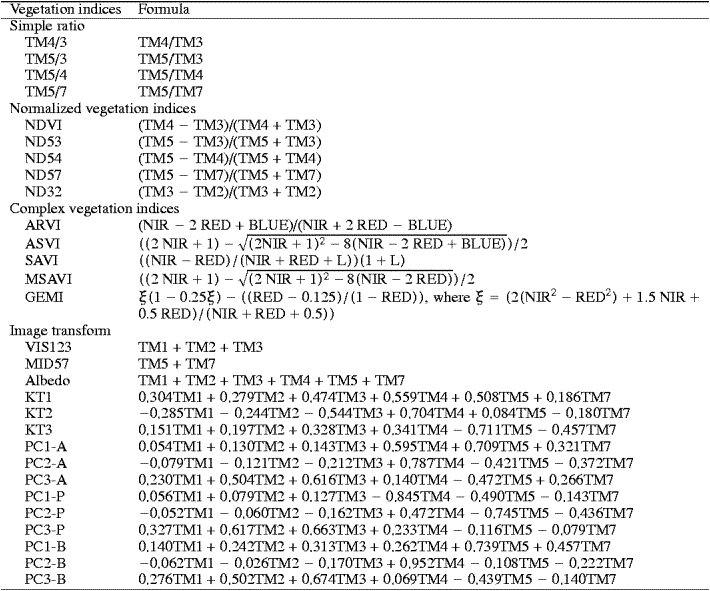
| 18:49, 27 October 2010 | Veg indices.png (file) |  | 31 KB | Lburgr | (Picture of a list of vegetation indices.) | 1 |
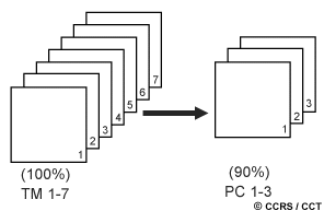
| 17:53, 27 October 2010 | Pca.gif (file) |  | 4 KB | Lburgr | (Graphic explaining the principal component (PCA) analysis image transformation technique) | 1 |
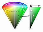
| 13:51, 26 October 2010 | Hiscone.jpg (file) |  | 3 KB | Lburgr | (Graphic of HSI color model) | 1 |
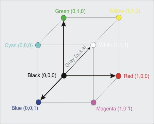
| 13:47, 26 October 2010 | Rgbcube.jpg (file) |  | 16 KB | Lburgr | (Graphic of RGB color model.) | 1 |
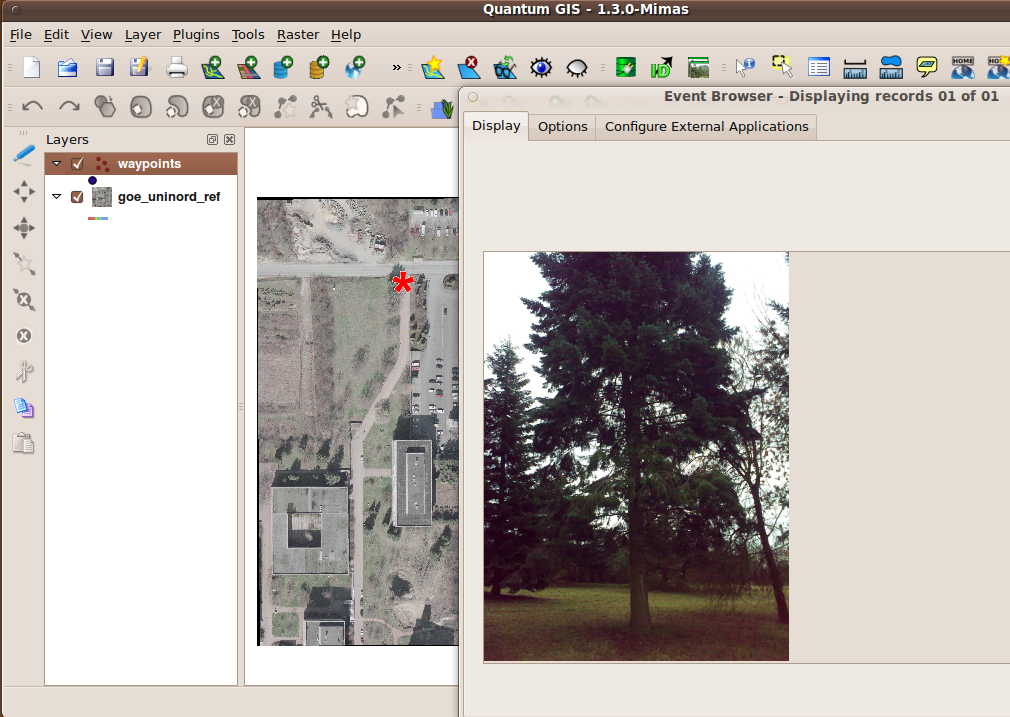
| 12:33, 26 October 2010 | Event picture.png (file) |  | 524 KB | Lburgr | (Screenshot of EVIS event window in QGIS.) | 1 |
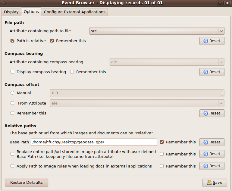
| 12:31, 26 October 2010 | Configure evis.png (file) |  | 86 KB | Lburgr | (Screenshot of EVIS Event Browser in QGIS.) | 1 |
| 12:29, 26 October 2010 | Evis event button.png (file) |  | 2 KB | Lburgr | (Screenshot of QGIS EVIS event plugin button.) | 1 |
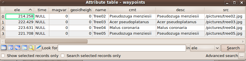
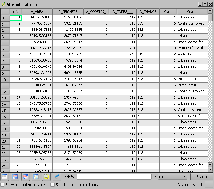
| 12:27, 26 October 2010 | Waypoints attribute.png (file) | 51 KB | Lburgr | (Screenshot of QGIS attribute table.) | 1 | |
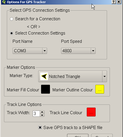
| 11:48, 26 October 2010 | Gps track2.png (file) |  | 13 KB | Lburgr | (Screenshot of QGIS “Options for GPS-Tracker” window.) | 1 |
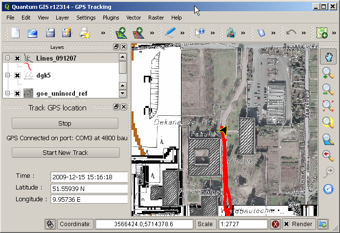
| 11:45, 26 October 2010 | Gps track1.png (file) |  | 309 KB | Lburgr | (Screenshot of QGIS GPS-Tracking window) | 1 |
| 10:53, 26 October 2010 | Edit toolbar 1.png (file) |  | 4 KB | Lburgr | (Screenshot of QGIS “Start editing” button.) | 1 |
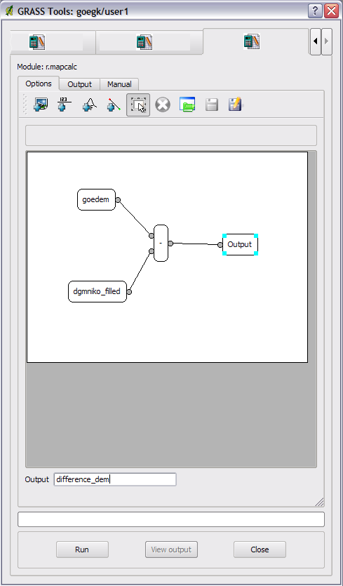
| 18:07, 25 October 2010 | Difference dem.png (file) |  | 25 KB | Lburgr | (Screenshot of GRASS r.mapcalc window in QGIS.) | 1 |
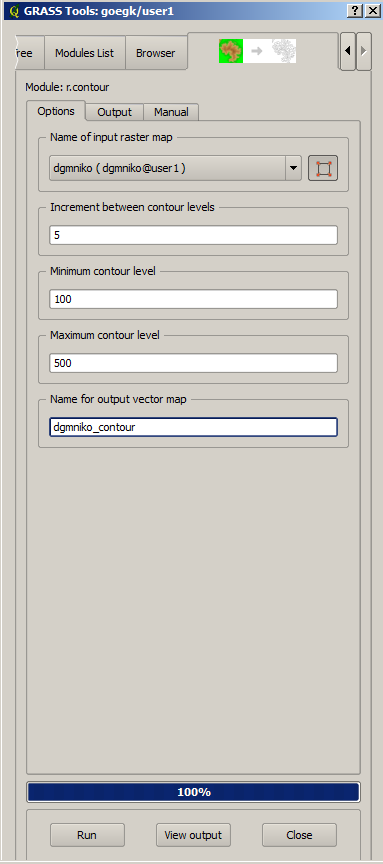
| 18:03, 25 October 2010 | R contour.png (file) |  | 24 KB | Lburgr | (Screenshot of GRASS r.contour window in QGIS) | 1 |
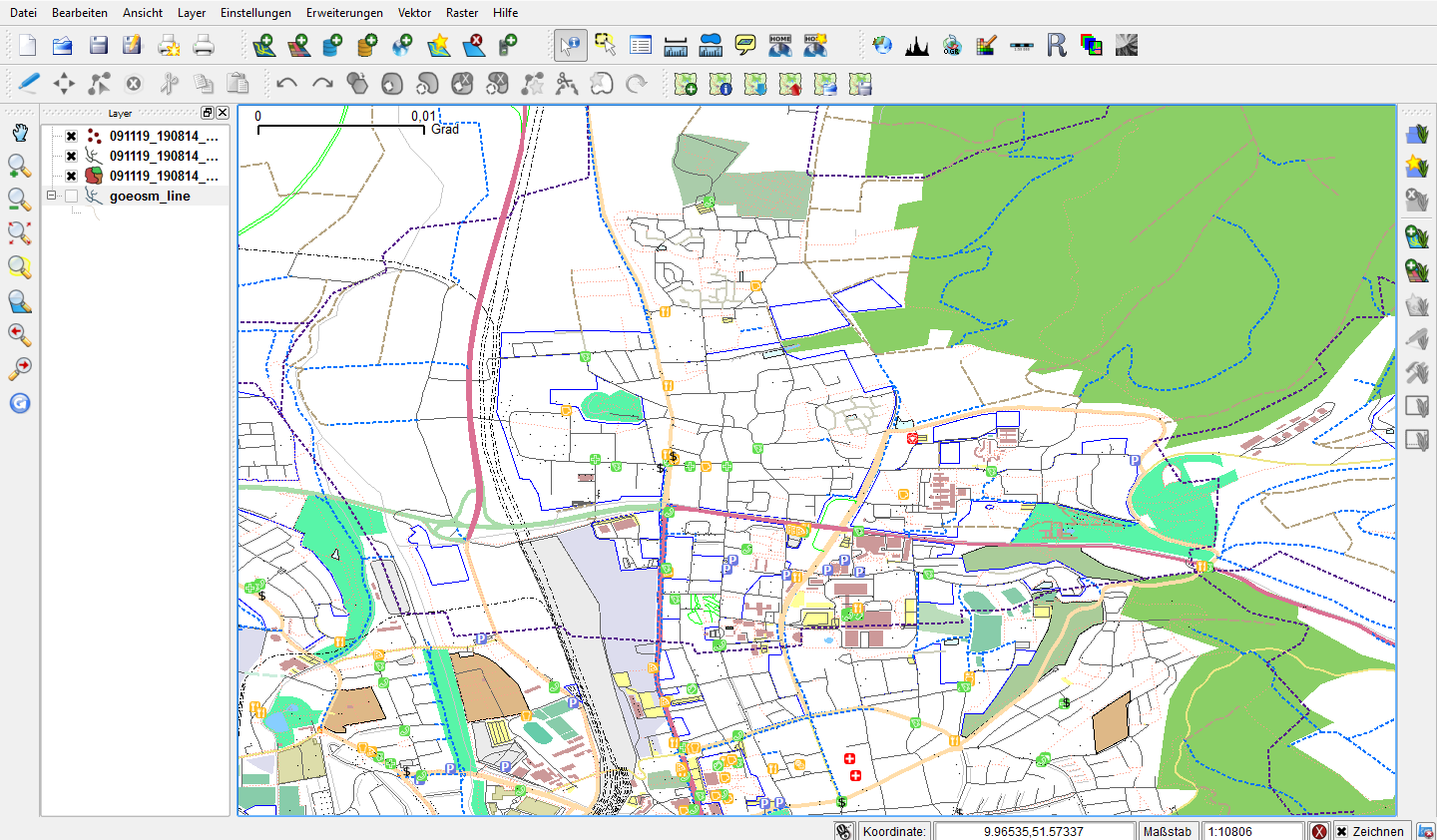
| 12:08, 21 October 2010 | Qgis-osm.png (file) |  | 216 KB | Lburgr | (Screenshot of QGIS with loaded OSM layer) | 1 |
| 12:03, 21 October 2010 | Osm-toolbar.png (file) | 4 KB | Lburgr | (Screenshot of QGIS OpenStreet Map toolbar) | 1 | |
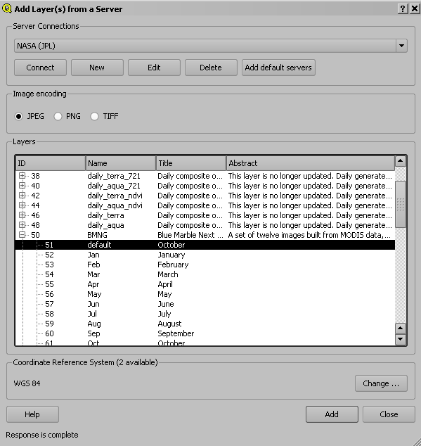
| 11:45, 21 October 2010 | Wmslayer.png (file) |  | 15 KB | Lburgr | (Screenshot of QGIS add WMS layer dialog) | 1 |
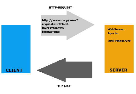
| 11:37, 21 October 2010 | Wms.png (file) |  | 9 KB | Lburgr | (Graphic depiction of the WMS data flow structure) | 1 |
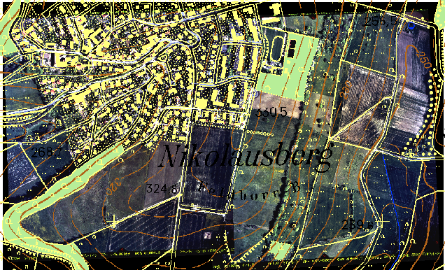
| 17:41, 20 October 2010 | Aerial mosaic.png (file) |  | 467 KB | Lburgr | (Aerial photo of the village Nikolausberg in Goettingen, Germany) | 1 |
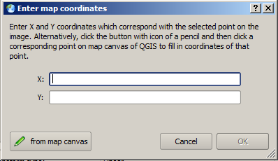
| 17:22, 20 October 2010 | Mapcanvas.png (file) |  | 11 KB | Lburgr | (Screenshot of QGIS dialog for adding control points for georeferenciation.) | 1 |
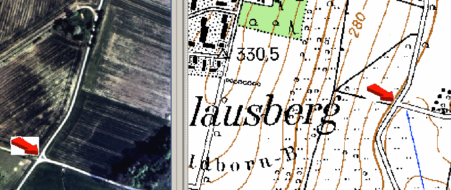
| 17:16, 20 October 2010 | Choosepoints.png (file) |  | 244 KB | Lburgr | (Screenshot of aerial photograph and map in QGIS) | 1 |
| 16:28, 20 October 2010 | Addpoints.png (file) |  | 932 B | Lburgr | (Screenshot of QGIS setting control points icon) | 1 |
| 16:07, 20 October 2010 | Grass tools.png (file) |  | 2 KB | Lburgr | (Screenshot of QGIS GRASS tools icon.) | 1 |
| 15:57, 20 October 2010 | Grass shell.png (file) |  | 1 KB | Lburgr | (Screenshot of GRASS shell icon) | 1 |
| 15:44, 20 October 2010 | Rgb composer.png (file) |  | 8 KB | Lburgr | (Screenshot of GRASS RGB-Composer icon) | 1 |
| 11:45, 20 October 2010 | Grass toolbar.png (file) | 9 KB | Lburgr | (Screenshot of QGIS GRASS-Toolbar) | 1 | |
| 19:36, 19 October 2010 | Attributetable.png (file) |  | 30 KB | Lburgr | (Screenshot of QGIS attribute table) | 1 |
First page |
Previous page |
Next page |
Last page |