File:RemSens Exercise01 3.png
From AWF-Wiki
Size of this preview: 598 × 600 pixels.
Full resolution (662 × 664 pixels, file size: 1.02 MB, MIME type: image/png)
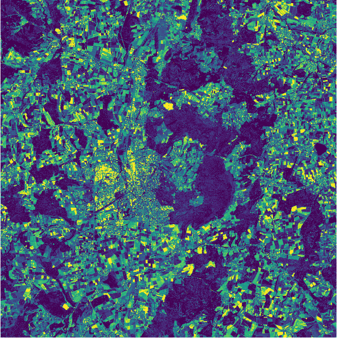
A landsat band 1 map displayed in pseudocolor in QGIS. Part of exercise 1 of the QGIS Tutorial 2013/14.
File history
Click on a date/time to view the file as it appeared at that time.
| Date/Time | Thumbnail | Dimensions | User | Comment | |
|---|---|---|---|---|---|
| current | 12:08, 9 November 2020 | | 662 × 664 (1.02 MB) | Hfuchs (Talk | contribs) | |
| 19:26, 9 November 2013 | 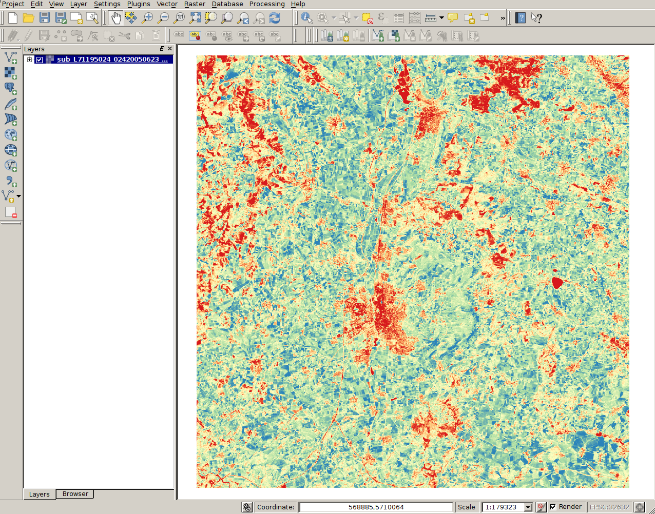 | 1,276 × 1,002 (1.54 MB) | Lburgr (Talk | contribs) | A landsat band 1 map displayed in pseudocolor in QGIS. Part of exercise 1 of the QGIS Tutorial 2013/14. |
- Edit this file using an external application (See the setup instructions for more information)
File usage
The following page links to this file: