Talk:Using Qgis2threejs
From AWF-Wiki
- Prepare a shaded relief layer.
- Select Plugin --> Manage and install plugins and install the Qgis2threejs plugin.
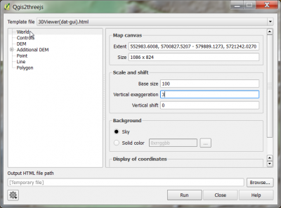
- Web --> Qgis2threejs --> Qgis2threejs. Click on World and increase the Verical exaggeration to3.
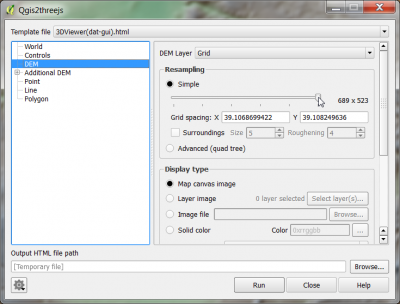
- Click DEM. Specify the source of the digital elevation model. Increase the spatial resolution: drag the slider in Resampling to the right.
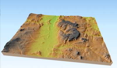
 Click Run. Your default web browser will be opened and an interactive 3D view wit the extent of the current map canvas will be displayed.
 .
.
