The Profile plugin
From AWF-Wiki
QGIS Tutorial
Category QGIS tutorial not found
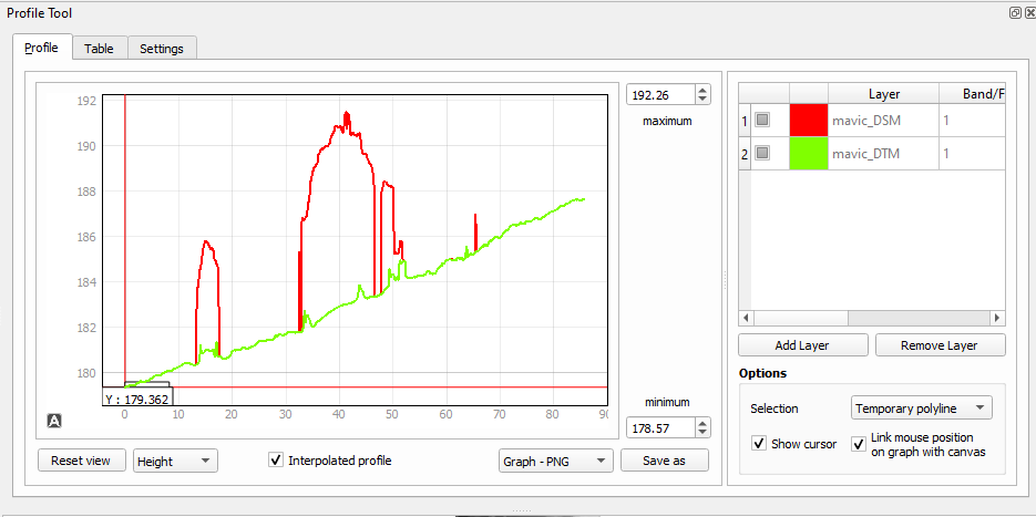
The Profile tool plots terrain profiles along interactive pointed lines. It handles one-band rasters of any format supported by QGIS.
 Exercise 18: Apply the Profile Plugin
- Open the GRASS Toolbox with LOCATION: goegk, MAPSET: user1
- Load the raster goedem to the map canvas.
- Click the button Terrain profile
- Set a start point for the interactive line by clicking on the map.
- Now set the end point of the line.
