Loading vector data
From AWF-Wiki
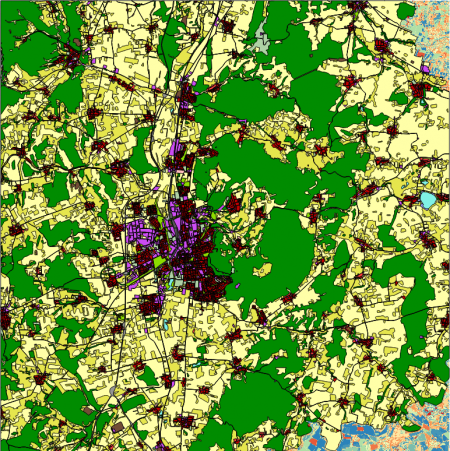
The European Urban Atlas is part of the local component of the GMES/Copernicus land monitoring services. It provides high-resolution land use maps for European Large Urban Zones and their surroundings (more than 50.000 inhabitants). The Urban Atlas has a legend designed to capture urban land use (17 urban classes with minimum mapping unit = MMU 0.25 ha, 10 rural classes MMU = 1ha) and a finer spatial resolution compared to the CORINE land cover product. It was produced by the Copernicus Urban Atlas project.
- Click the Open Data Source Manager
 and then Add vector layer
  and select the file and select the file geodata\lucc\DE021L1_GOTTINGEN\Subset-Goe_DE021L1_GOTTINGEN_UA2012_UTM32N.shp.
The map should now appear in the selected style, with a legend of the categories displayed in the TOC (Figure D).
