Loading vector data
From AWF-Wiki
- Click Add vector layer
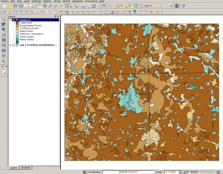
 and select file geodata/vector/corine_lc.shp. The map should appear on the canvas.
- To categorize the data, click on the layer in the TOC, select Properties --> Style. You'll find a pulldown menu which defaults to Single symbol. Click it and select Categorized. The menu will change to the Categorized view.
- In the Column menu, select the category name Cname. In the Color ramp menu, you can select the desired color style. As in the raster layer symbology, click Classify and confirm with Apply or OK. The map should now appear in the selected style, with a legend of the categories displayed in the TOC (Figure D).
