Talk:Using Qgis2threejs
From AWF-Wiki
(Difference between revisions)
| (10 intermediate revisions by one user not shown) | |||
| Line 1: | Line 1: | ||
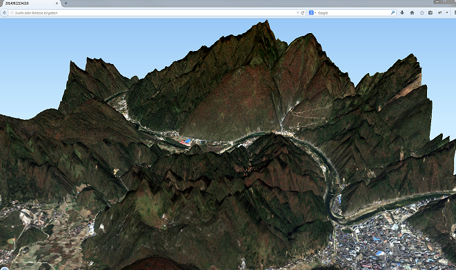
| + | [https://plugins.qgis.org/plugins/Qgis2threejs/ Qgis2threejs] plugin exports terrain data, map canvas image and vector data to your web browser. You can view exported 3D objects on web browser which supports WebGL. | ||
| − | + | [[File:Qgis2Threejs.PNG|3D Visualization]] | |
| + | |||
| + | ==External Tutorials== | ||
| + | * [http://opensourcegisblog.blogspot.de/2014/03/3d-visualization-of-manhattan-using.html visualization-of-manhattan] | ||
| + | * [http://anitagraser.com/2014/03/15/3d-viz-with-qgis-three-js/ 3d-viz-with-qgis-three-js] | ||
Latest revision as of 10:48, 16 April 2018
Qgis2threejs plugin exports terrain data, map canvas image and vector data to your web browser. You can view exported 3D objects on web browser which supports WebGL.
