File:RemSens Exercise01 2.png
From AWF-Wiki
(Difference between revisions)
(Screenshot of a histogram of pixel values of a ''landsat'' map, generated in the course of QGIS Tutorial 2013/14, Exercise 01.) |
Latest revision as of 19:09, 9 November 2013
Screenshot of a histogram of pixel values of a landsat map, generated in the course of QGIS Tutorial 2013/14, Exercise 01.
File history
Click on a date/time to view the file as it appeared at that time.
| Date/Time | Thumbnail | Dimensions | User | Comment | |
|---|---|---|---|---|---|
| current | 19:09, 9 November 2013 | 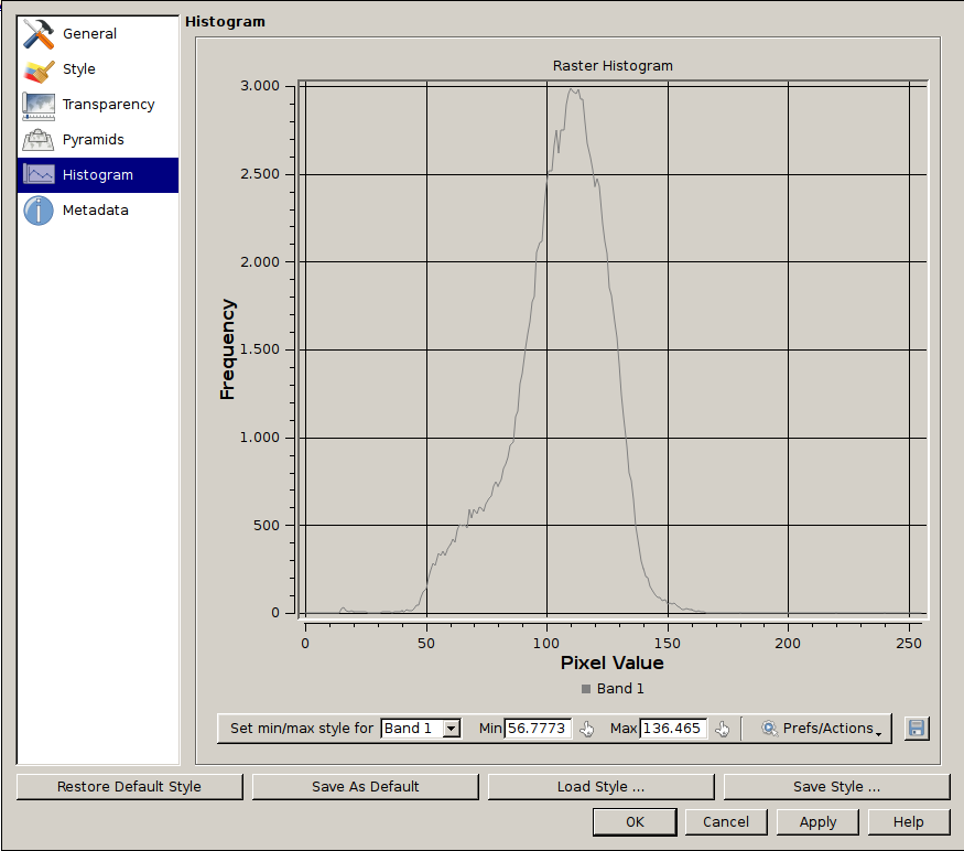 | 875 × 772 (56 KB) | Lburgr (Talk | contribs) | Screenshot of a histogram of pixel values of a ''landsat'' map, generated in the course of QGIS Tutorial 2013/14, Exercise 01. |
- Edit this file using an external application (See the setup instructions for more information)
File usage
The following page links to this file: