File list
This special page shows all uploaded files. When filtered by user, only files where that user uploaded the most recent version of the file are shown.
| Name | Thumbnail | Size | User | Description | Versions | |
|---|---|---|---|---|---|---|
| 12:35, 14 October 2021 | Jupyter-directory-browser.png (file) |  | 55 KB | Nnoelke | 1 | |
| 19:52, 16 November 2017 | Pca result.png (file) | 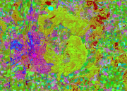 | 1.34 MB | Nnoelke | 1 | |
| 18:47, 16 November 2017 | Pansharpen.png (file) | 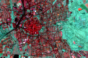 | 469 KB | Nnoelke | 1 | |
| 18:46, 16 November 2017 | No pansharpen.png (file) | 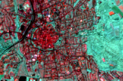 | 134 KB | Nnoelke | 1 | |
| 10:14, 29 October 2017 | Qgisprofiletool.png (file) |  | 3 KB | Nnoelke | 1 | |
| 10:57, 27 October 2017 | Hillshade3.png (file) |  | 767 KB | Nnoelke | 1 | |
| 10:56, 27 October 2017 | Hillshade2.png (file) |  | 337 KB | Nnoelke | 1 | |
| 10:56, 27 October 2017 | Hillshade1.png (file) |  | 348 KB | Nnoelke | 1 | |
| 13:26, 29 October 2014 | Gpstools 1.png (file) |  | 14 KB | Nnoelke | 2 | |
| 11:47, 29 October 2014 | Photo2shape icon.png (file) | 831 B | Nnoelke | 1 | ||
| 11:44, 29 October 2014 | Photolink3.png (file) |  | 27 KB | Nnoelke | 1 | |
| 09:43, 29 October 2014 | RemSens Exercise02 2.png (file) |  | 537 KB | Nnoelke | 2 | |
| 09:41, 29 October 2014 | RemSens Exercise02 3.png (file) |  | 917 KB | Nnoelke | 1 | |
| 16:24, 28 October 2014 | Trimble start2.png (file) |  | 423 KB | Nnoelke | 1 | |
| 16:23, 28 October 2014 | Trimble gnss.png (file) | 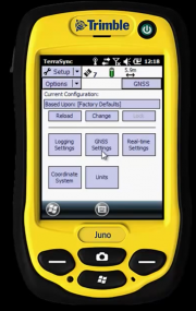 | 418 KB | Nnoelke | 1 | |
| 16:16, 28 October 2014 | Trimble bottom.png (file) |  | 697 KB | Nnoelke | 1 | |
| 14:29, 28 October 2014 | Trimble gcp1.png (file) | 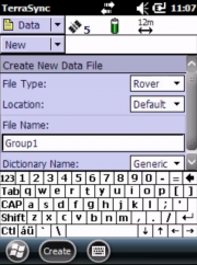 | 485 KB | Nnoelke | 2 | |
| 14:17, 28 October 2014 | Trimble gcp4.png (file) | 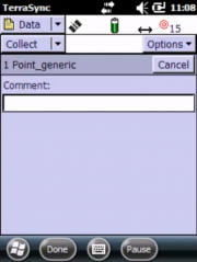 | 323 KB | Nnoelke | 1 | |
| 14:16, 28 October 2014 | Trimble gcp3.png (file) | 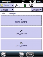 | 326 KB | Nnoelke | 1 | |
| 14:16, 28 October 2014 | Trimble gcp2.png (file) |  | 479 KB | Nnoelke | 1 | |
| 13:57, 28 October 2014 | Trimble back.png (file) |  | 1.1 MB | Nnoelke | 1 | |
| 13:56, 28 October 2014 | Trimble front.png (file) |  | 3.19 MB | Nnoelke | 1 | |
| 14:08, 24 September 2014 | Qgis2Threejs.PNG (file) |  | 507 KB | Nnoelke | 1 | |
| 14:47, 4 June 2014 | Monteverdi2 gui.png (file) |  | 352 KB | Nnoelke | 1 | |
| 08:00, 4 June 2014 | Screen3.png (file) |  | 51 KB | Nnoelke | 1 | |
| 08:00, 4 June 2014 | Screen2.png (file) | 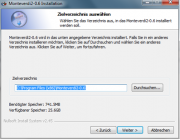 | 79 KB | Nnoelke | 1 | |
| 08:00, 4 June 2014 | Screen1.png (file) | 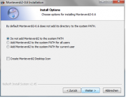 | 62 KB | Nnoelke | 1 | |
| 08:41, 15 January 2014 | Pointviewer-color.png (file) | 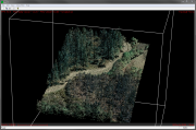 | 1.17 MB | Nnoelke | 1 | |
| 14:53, 5 December 2012 | LaserTIR2.png (file) | 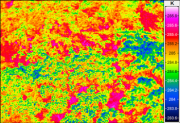 | 182 KB | Nnoelke | 1 | |
| 14:48, 5 December 2012 | LaserTIR1.jpg (file) |  | 19 KB | Nnoelke | 1 | |
| 08:43, 20 September 2011 | Referencepoints.png (file) | 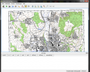 | 714 KB | Nnoelke | 2 | |
| 14:34, 26 November 2010 | Mapserver-aufbau.png (file) | 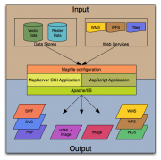 | 53 KB | Nnoelke | 1 | |
| 13:53, 15 November 2010 | Wmslayers.png (file) | 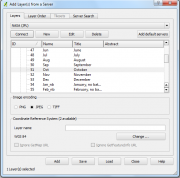 | 993 KB | Nnoelke | 1 | |
| 18:43, 14 November 2010 | WMS.png (file) | 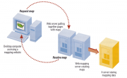 | 125 KB | Nnoelke | 1 | |
| 19:16, 1 November 2010 | Quantumlogo.png (file) |  | 3 KB | Nnoelke | 1 | |
| 16:11, 1 November 2010 | Qgis.png (file) |  | 15 KB | Nnoelke | (Reverted to version as of 18:14, 22 January 2009) | 3 |