File:RemSens Exercise06 04.png
From AWF-Wiki

Size of this preview: 800 × 500 pixels.
Full resolution (1,280 × 800 pixels, file size: 712 KB, MIME type: image/png)
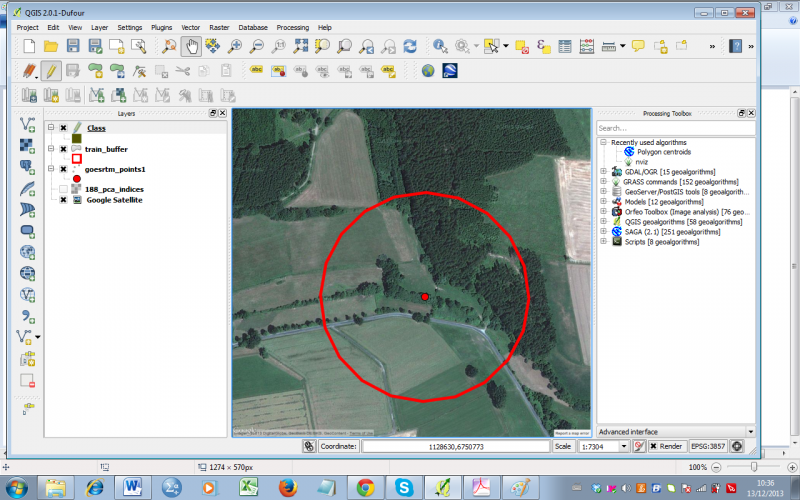
Screenshot of QGIS 2.0 session with loaded Google satellite layer and sample point for landscape classification.
File history
Click on a date/time to view the file as it appeared at that time.
| Date/Time | Thumbnail | Dimensions | User | Comment | |
|---|---|---|---|---|---|
| current | 19:08, 24 January 2014 | | 1,280 × 800 (712 KB) | Lburgr (Talk | contribs) | Screenshot of QGIS 2.0 session with loaded Google satellite layer and sample point for landscape classification. |
- Edit this file using an external application (See the setup instructions for more information)
File usage
The following page links to this file: