File:RemSens Exercise03 9.png
From AWF-Wiki
Size of this preview: 800 × 491 pixels.
Full resolution (1,679 × 1,030 pixels, file size: 615 KB, MIME type: image/png)
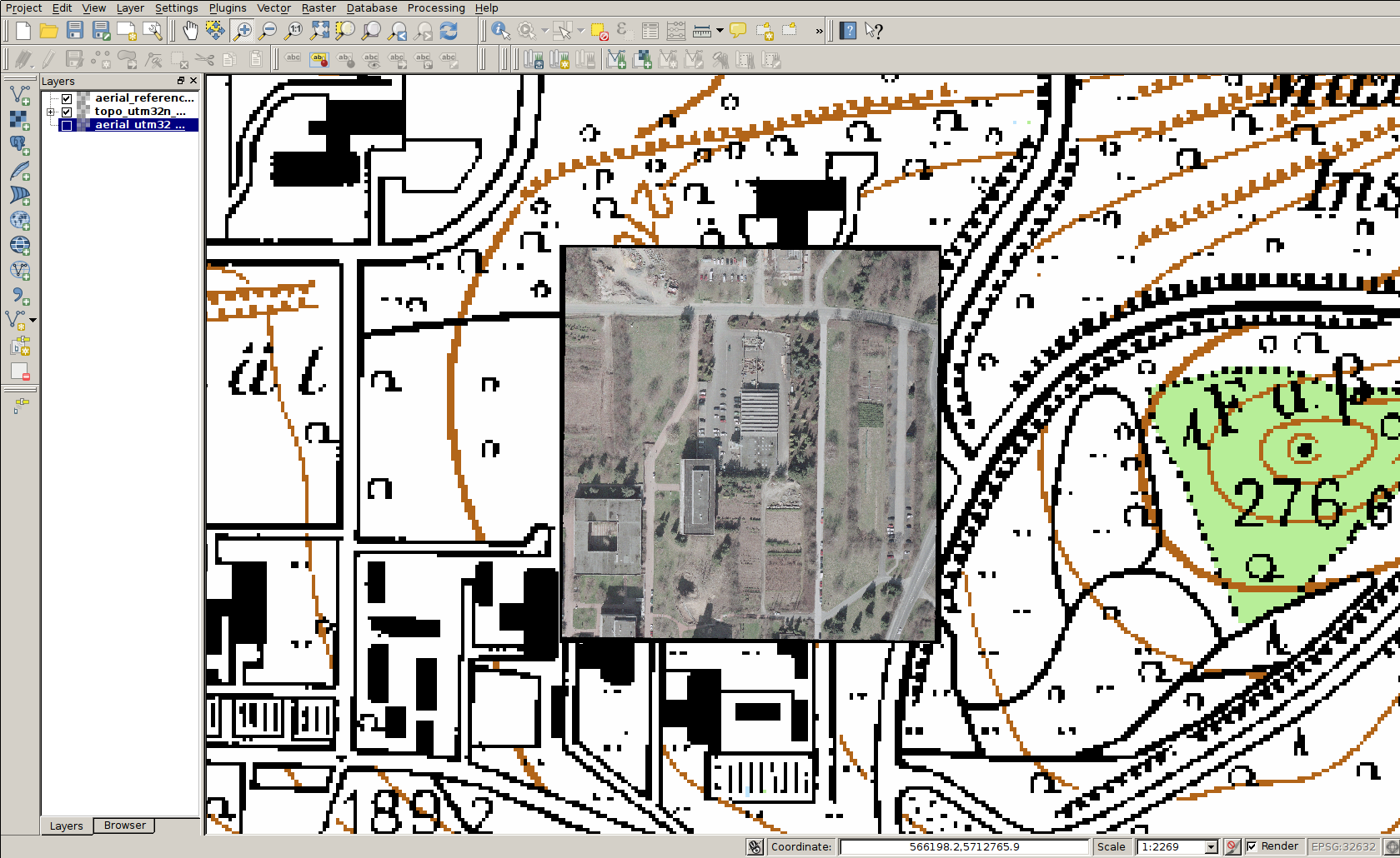
QGIS 2.0 with a georeferenced aerial photograph of the faculty for forestry, Göttingen, with underlying topographic map.
File history
Click on a date/time to view the file as it appeared at that time.
| Date/Time | Thumbnail | Dimensions | User | Comment | |
|---|---|---|---|---|---|
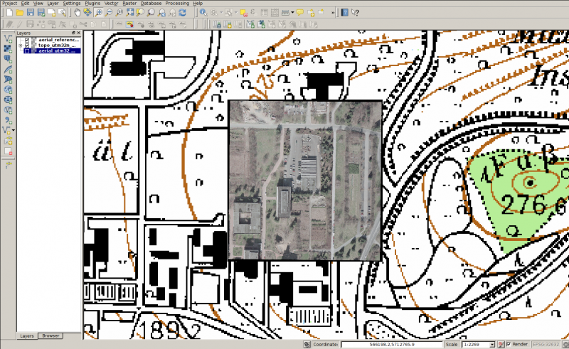
| current | 12:44, 10 December 2013 | | 1,679 × 1,030 (615 KB) | Lburgr (Talk | contribs) | QGIS 2.0 with a georeferenced aerial photograph of the faculty for forestry, Göttingen, with underlying topographic map. |
- Edit this file using an external application (See the setup instructions for more information)
File usage
The following page links to this file: