File:RemSens Exercise01 4.png
From AWF-Wiki
Size of this preview: 766 × 600 pixels.
Full resolution (1,276 × 999 pixels, file size: 630 KB, MIME type: image/png)
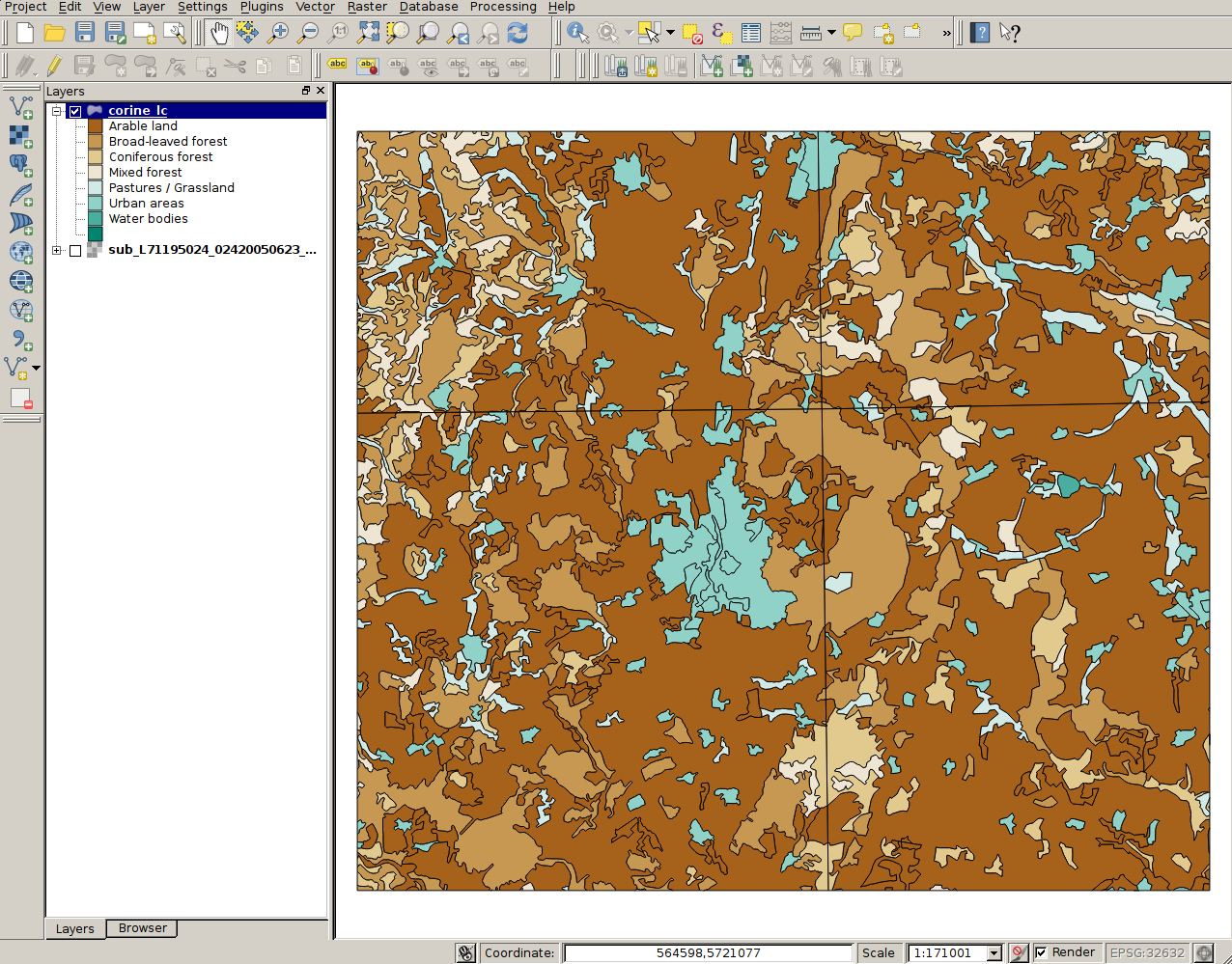
CORINE landcover map for Göttingen and vicinity in QGIS. Part of exercise one of the QGIS tutorial 2013/14.
File history
Click on a date/time to view the file as it appeared at that time.
| Date/Time | Thumbnail | Dimensions | User | Comment | |
|---|---|---|---|---|---|
| current | 20:01, 9 November 2013 | | 1,276 × 999 (630 KB) | Lburgr (Talk | contribs) | CORINE landcover map for Göttingen and vicinity in QGIS. Part of exercise one of the QGIS tutorial 2013/14. |
- Edit this file using an external application (See the setup instructions for more information)
File usage
There are no pages that link to this file.