File:Mapcanvas.png
From AWF-Wiki
No higher resolution available.
Mapcanvas.png (398 × 230 pixels, file size: 11 KB, MIME type: image/png)
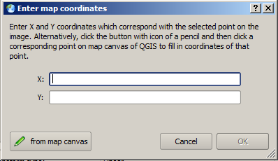
Screenshot of QGIS dialog for adding control points for georeferenciation.
File history
Click on a date/time to view the file as it appeared at that time.
| Date/Time | Thumbnail | Dimensions | User | Comment | |
|---|---|---|---|---|---|
| current | 17:22, 20 October 2010 | | 398 × 230 (11 KB) | Lburgr (Talk | contribs) | Screenshot of QGIS dialog for adding control points for georeferenciation. |
- Edit this file using an external application (See the setup instructions for more information)
File usage
There are no pages that link to this file.