File:Etm40 grey stdev.jpg
From AWF-Wiki
Size of this preview: 710 × 600 pixels.
Full resolution (997 × 842 pixels, file size: 267 KB, MIME type: image/jpeg)
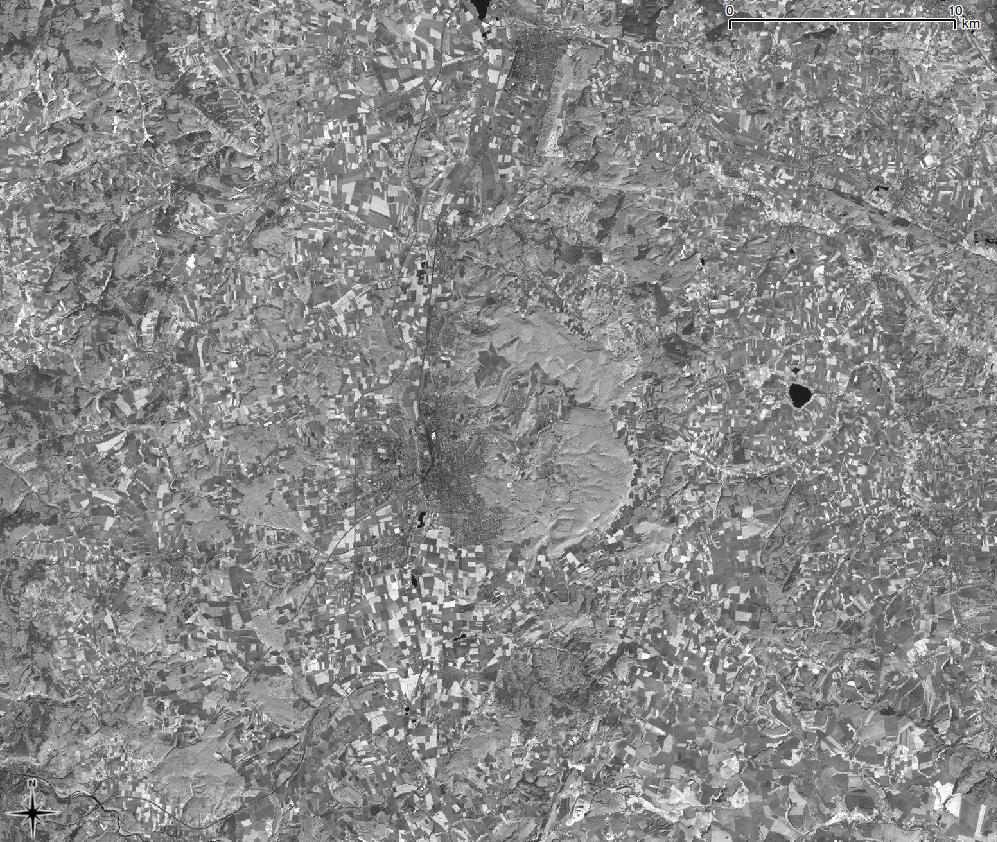
Fourth band of a LANDSAT image symbolized in greyscale; based on a standard deviaton of 2.5 with stretch to MinMax in QGIS.
File history
Click on a date/time to view the file as it appeared at that time.
| Date/Time | Thumbnail | Dimensions | User | Comment | |
|---|---|---|---|---|---|
| current | 13:52, 26 January 2011 | | 997 × 842 (267 KB) | Lburgr (Talk | contribs) | Fourth band of a LANDSAT image symbolized in greyscale; based on a standard deviaton of 2.5 with stretch to MinMax in QGIS. |
- Edit this file using an external application (See the setup instructions for more information)
File usage
There are no pages that link to this file.