Talk:Spectral indices
From AWF-Wiki
(Difference between revisions)
(Created page with "= Spectral indices using Processing Toolbox = ! Multiband calcualtion does currently not work, only single index bands! A convenient module for calculating one or several spe...") |
Latest revision as of 14:47, 20 June 2019
[edit] Spectral indices using Processing Toolbox
! Multiband calcualtion does currently not work, only single index bands!
A convenient module for calculating one or several spectral indices at the same time can be found in the QGIS processing toolbox.
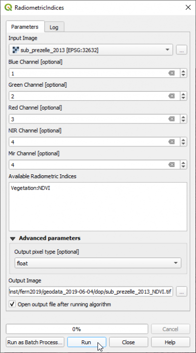
- Type Radiometric into the search field and find the OTB --> Feature Extraction --> Radiometric Indices) tool.
- Open it with a double click.
- Assign the bands in the multiband file to the correct spectral sensitivity.
- in the text field Available Radiometric Indices type:
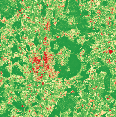
Vegetation:NDVI Enter Water:NDWI Enter Soil:BI2 Enter. Click Run.
- Click Helpto find an overview on available spectral indices in three categories (vegetation, water, soil) and relevant channels of the input multiband image.
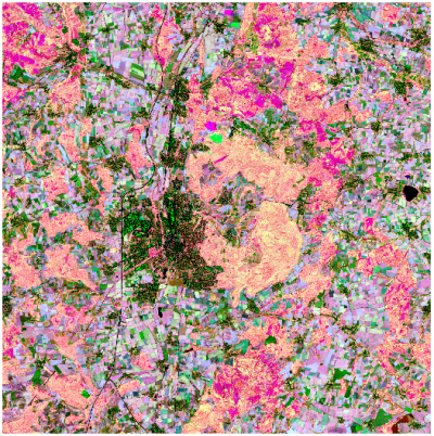
- Display the output multiband spectral indices image as a color composite in the canvas (Fig. B).


