Creating jigsaw puzzles in ArcMap
(→Workflow) |
(→Workflow) |
||
| Line 8: | Line 8: | ||
*Basis for this decomposition is a map with tree locations (x and y coordinates) that might be generated or the result of a full assessment of a forest stand as shapefile or layer. | *Basis for this decomposition is a map with tree locations (x and y coordinates) that might be generated or the result of a full assessment of a forest stand as shapefile or layer. | ||
[[Image:Tree_coordinates.png|800px]] | [[Image:Tree_coordinates.png|800px]] | ||
| + | |||
| + | *All trees must be buffered with the radius of a cirlular sample plot (their inclusion zone). Therefor create a new empty shapefile (with ArcCatalog) | ||
| + | |||
| + | |||
| + | {{under construction}} | ||
==References== | ==References== | ||
<references/> | <references/> | ||
Revision as of 15:38, 21 January 2009
The concept of cluster inclusionzones for fixed area sample plots
The so called jigsaw puzzle view (Roesch et al. 1993[1]) is a decomopsition of the total domain of interest in non-overlapping inclusion zones for exclusive clusters of trees. In the infinit population approach sample elements are dimensionless points drawn from an infinit sample frame. Observations are derived as generalization over a number of nearest neighbours (trees) to a certain sample point. In fixed area sampling neighbours are considered up to a fixed distance (the radius of a circular sample plot). This "inclusion distance" can be assigned to every tree in the domain of interest, as a sample point falling in that distance would lead to a selection of the respective tree. This single tree inclusion zones are overlapping (as in most cases more than only one tree is selected by a sample point) whereas the resulting pattern is a decomposition of the total area in non-overlapping polygons, that would lead to a selection of a particular cluster of trees. This article describes briefly, how jigsaw puzzles can be created from a map with tree locations in ArcGIS.
Workflow
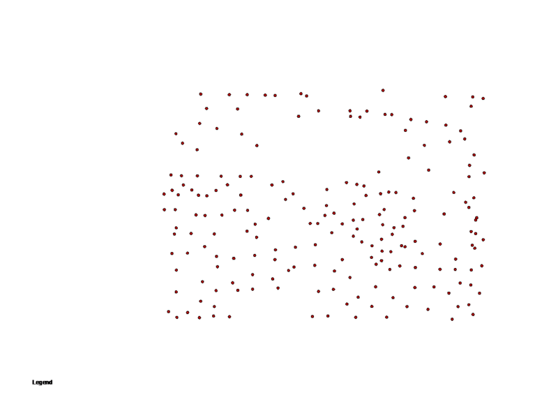
- Basis for this decomposition is a map with tree locations (x and y coordinates) that might be generated or the result of a full assessment of a forest stand as shapefile or layer.
- All trees must be buffered with the radius of a cirlular sample plot (their inclusion zone). Therefor create a new empty shapefile (with ArcCatalog)
References
- ↑ Roesch, F.A.; Green, E.J.; Scott, C.T. 1993. An Alternative View of Forest Sampling. Survey Methodology 19 (2), 199-204.
