TLS course Bogor
| (7 intermediate revisions by one user not shown) | |||
| Line 1: | Line 1: | ||
The [http://www.uni-goettingen.de/en/67094.html Chair of Forest Inventory and Remote Sensing] at the Georg-August-Universität Göttingen, together with Indonesian counterparts from the institute of Forest Resource Inventory, Faculty of Forestry, Bogor Agricultural University (IPB) jointly implemented a trainings course on [[3D- Terrestrial laser scanning]] (TLS). | The [http://www.uni-goettingen.de/en/67094.html Chair of Forest Inventory and Remote Sensing] at the Georg-August-Universität Göttingen, together with Indonesian counterparts from the institute of Forest Resource Inventory, Faculty of Forestry, Bogor Agricultural University (IPB) jointly implemented a trainings course on [[3D- Terrestrial laser scanning]] (TLS). | ||
| − | The goal of this course was to show the potential of modern laser scanners to interested students and scientists from IPB. The course was implemented by Dr. Dominik Seidel, who is working on TLS since long, together with Nils Nölke and two student assistants from Göttingen. | + | The goal of this course was to show the potential of modern laser scanners to interested students and scientists from IPB. The course was implemented by [[User:Dseidel|Dr. Dominik Seidel]], who is working on TLS since long, together with [[User:Nnoelke|Nils Nölke]] and two student assistants from Göttingen. |
| + | |||
| + | A second and scientific goal of the TLS exercise was to investigate the development of basal area over stem height for a number of selected buttress trees in the botanical garden Bogor. | ||
| + | |||
| + | Some impressions from the trainings course (Fotos taken by Hartanto Sanjaya, Center of Technology for Natural Resources Inventory Agency for The Assessment and Application of Technology (BPPT)): | ||
| + | |||
| + | [[File:TLS-Bogor-small.jpg|TLS-Bogor.jpg|center|600px]] | ||
| + | |||
| + | |||
| + | [[File:butress_tree.jpg|center|600px]] | ||
| + | |||
| + | |||
| + | [[File:scanner.jpg|center|600px]] | ||
| + | |||
| + | |||
| + | [[File:scanner_display.jpg|center|600px]] | ||
| + | |||
| + | |||
| + | [[File:TLS1.jpg|center|600px]] | ||
| + | |||
| − | |||
[[Category:Projects]] | [[Category:Projects]] | ||
Latest revision as of 09:29, 26 November 2013
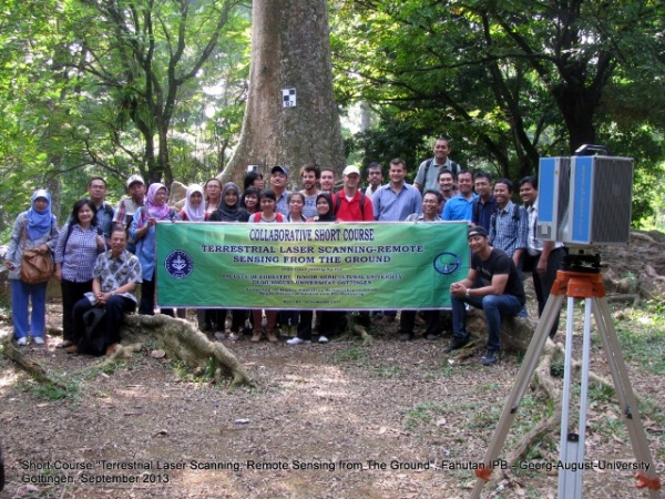
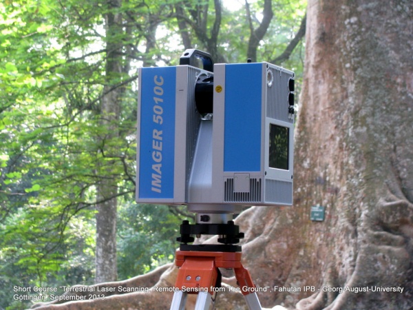
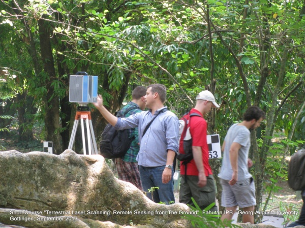
The Chair of Forest Inventory and Remote Sensing at the Georg-August-Universität Göttingen, together with Indonesian counterparts from the institute of Forest Resource Inventory, Faculty of Forestry, Bogor Agricultural University (IPB) jointly implemented a trainings course on 3D- Terrestrial laser scanning (TLS). The goal of this course was to show the potential of modern laser scanners to interested students and scientists from IPB. The course was implemented by Dr. Dominik Seidel, who is working on TLS since long, together with Nils Nölke and two student assistants from Göttingen.
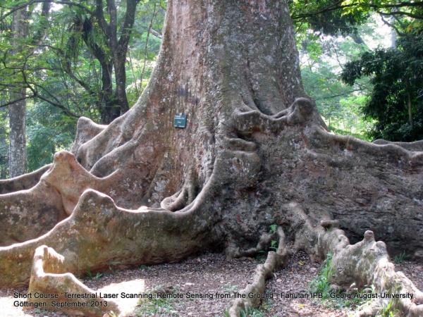
A second and scientific goal of the TLS exercise was to investigate the development of basal area over stem height for a number of selected buttress trees in the botanical garden Bogor.
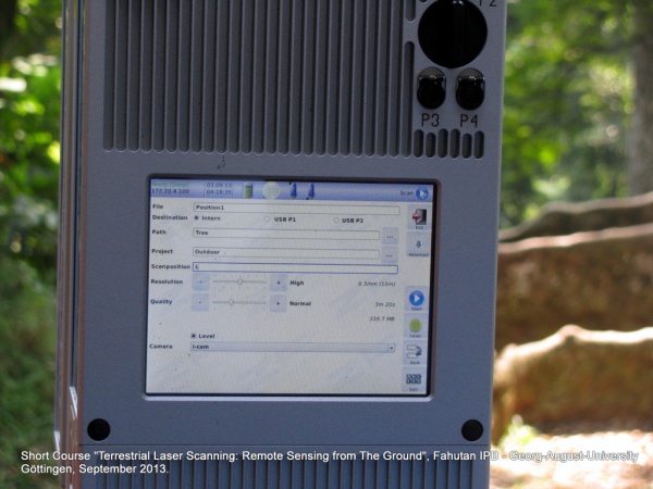
Some impressions from the trainings course (Fotos taken by Hartanto Sanjaya, Center of Technology for Natural Resources Inventory Agency for The Assessment and Application of Technology (BPPT)):
