File:RemSens Exercise09 02.png
From AWF-Wiki
Size of this preview: 800 × 450 pixels.
Full resolution (1,366 × 768 pixels, file size: 584 KB, MIME type: image/png)
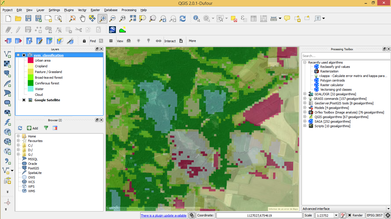
Land cover map in QGIS 2.0 with underlying Google satellite layer, zoomend in to a scale of 1:2375 in order to check for classification errors. Part of QGIS Tutorial 2013/14.
File history
Click on a date/time to view the file as it appeared at that time.
| Date/Time | Thumbnail | Dimensions | User | Comment | |
|---|---|---|---|---|---|
| current | 16:34, 18 February 2014 | | 1,366 × 768 (584 KB) | Lburgr (Talk | contribs) | Land cover map in QGIS 2.0 with underlying Google satellite layer, zoomend in to a scale of 1:2375 in order to check for classification errors. Part of QGIS Tutorial 2013/14. |
- Edit this file using an external application (See the setup instructions for more information)
File usage
The following page links to this file: