File:RemSens Exercise03 1.png
From AWF-Wiki

Size of this preview: 800 × 381 pixels.
Full resolution (1,826 × 870 pixels, file size: 368 KB, MIME type: image/png)
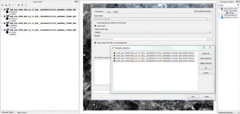
QGIS 2.0 with loaded landsat layers and open dialogue of the merge tool from the processing toolbox. Part of QGIS tutorial 2013/14 Exercise 03: Georeferencing.
File history
Click on a date/time to view the file as it appeared at that time.
| Date/Time | Thumbnail | Dimensions | User | Comment | |
|---|---|---|---|---|---|
| current | 10:21, 2 May 2016 | | 1,826 × 870 (368 KB) | Hfuchs (Talk | contribs) | |
| 10:14, 2 May 2016 | 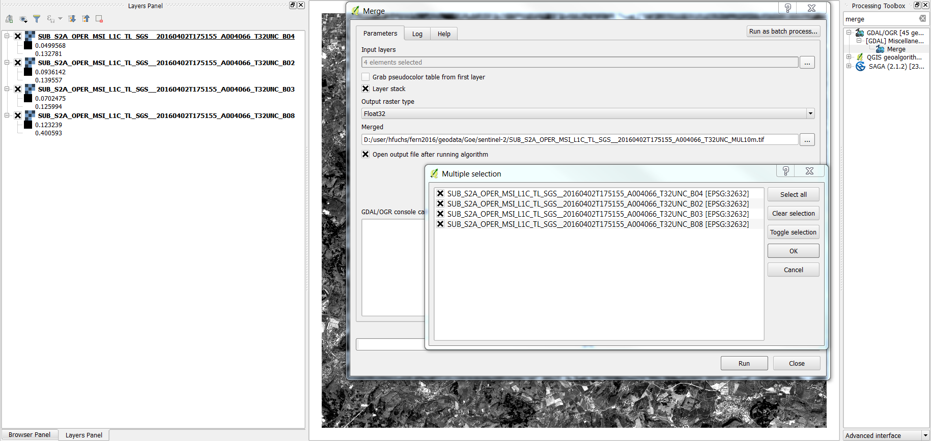 | 1,829 × 867 (403 KB) | Hfuchs (Talk | contribs) | ||
| 17:31, 8 December 2013 | 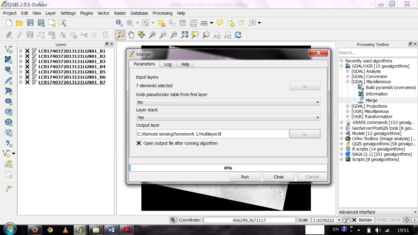 | 1,366 × 768 (324 KB) | Lburgr (Talk | contribs) | QGIS 2.0 with loaded landsat layers and open dialogue of the ''merge'' tool from the ''processing toolbox''. Part of QGIS tutorial 2013/14 Exercise 03: Georeferencing. |
- Edit this file using an external application (See the setup instructions for more information)
File usage
The following page links to this file: